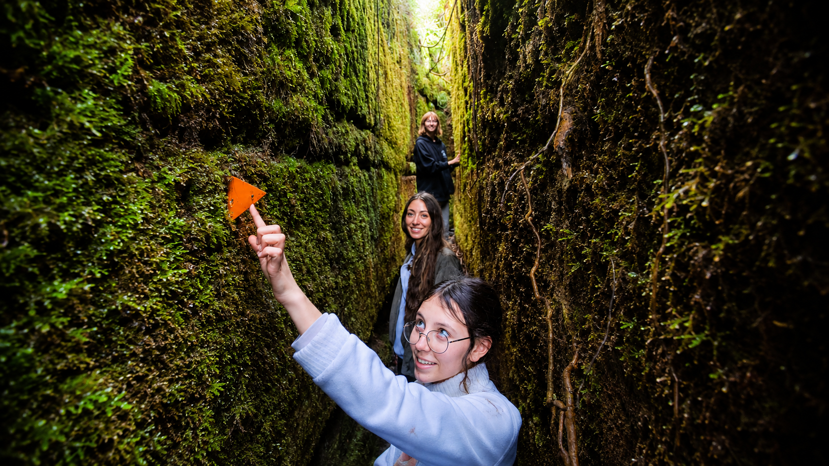

Blue Spur
Bushwalk
Old gold workings, wild forest and a deep rock-cut water race that carries on much farther than we ever expected.
This felt like disappearing into an old goldfield the forest had taken back.
Blue Spur felt completely different from the more polished short walks we had already done on the West Coast.
Once we entered the forest, some sections of the route were easy to follow, while others became much rougher and less obvious. There were places where we genuinely stopped and looked around to figure out where the track went next.
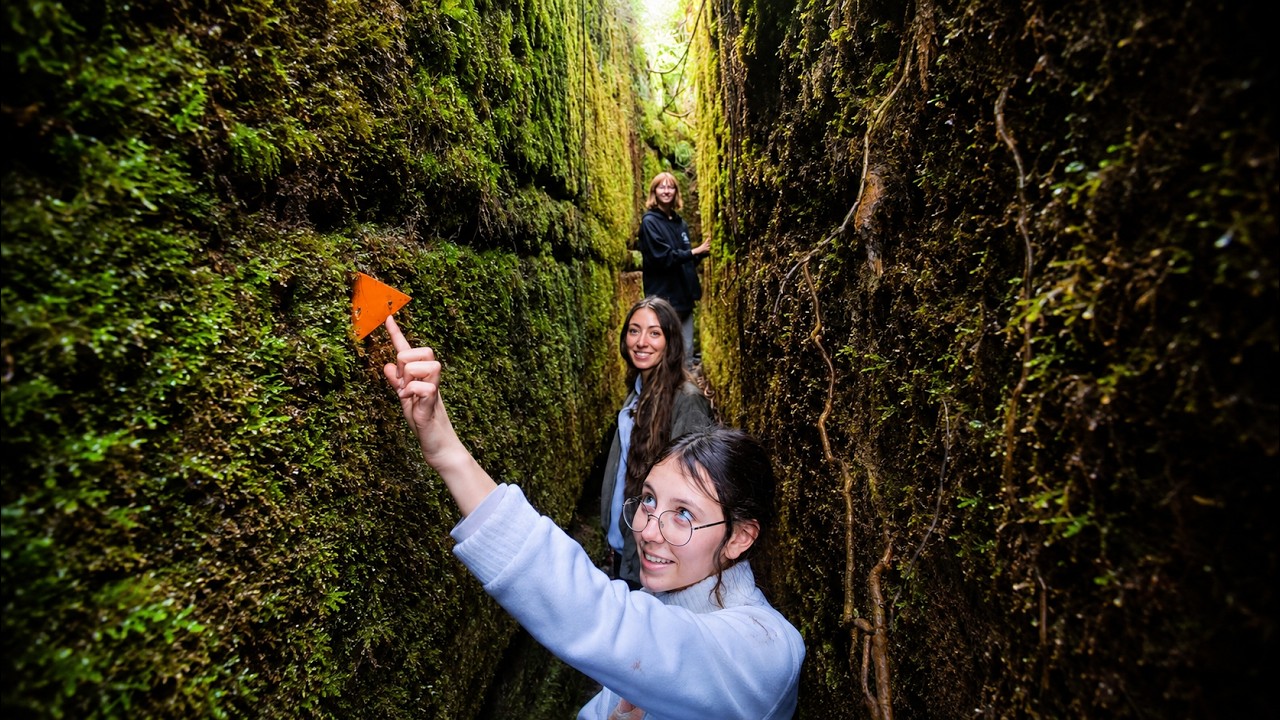
That made the bright orange trail markers surprisingly important. They stood out brilliantly against all that green, and spotting another one ahead was often the reassurance we needed that we were still going the right way.
What made the place fascinating was knowing this quiet forest was once busy gold-mining ground. Tunnels, trenches, stone walls and other workings are still here, but moss, ferns, roots and trees have grown back around almost everything.
It felt less like visiting a preserved historic site and more like exploring one nature had slowly reclaimed.
Short enough for an afternoon. Wild enough to feel like exploring.
Once inside the forest, Blue Spur follows a loop through old gold workings, rougher bush track and some seriously unusual terrain.
Arahura and Blue Spur area near Hokitika.
Westland District Council visitor information.
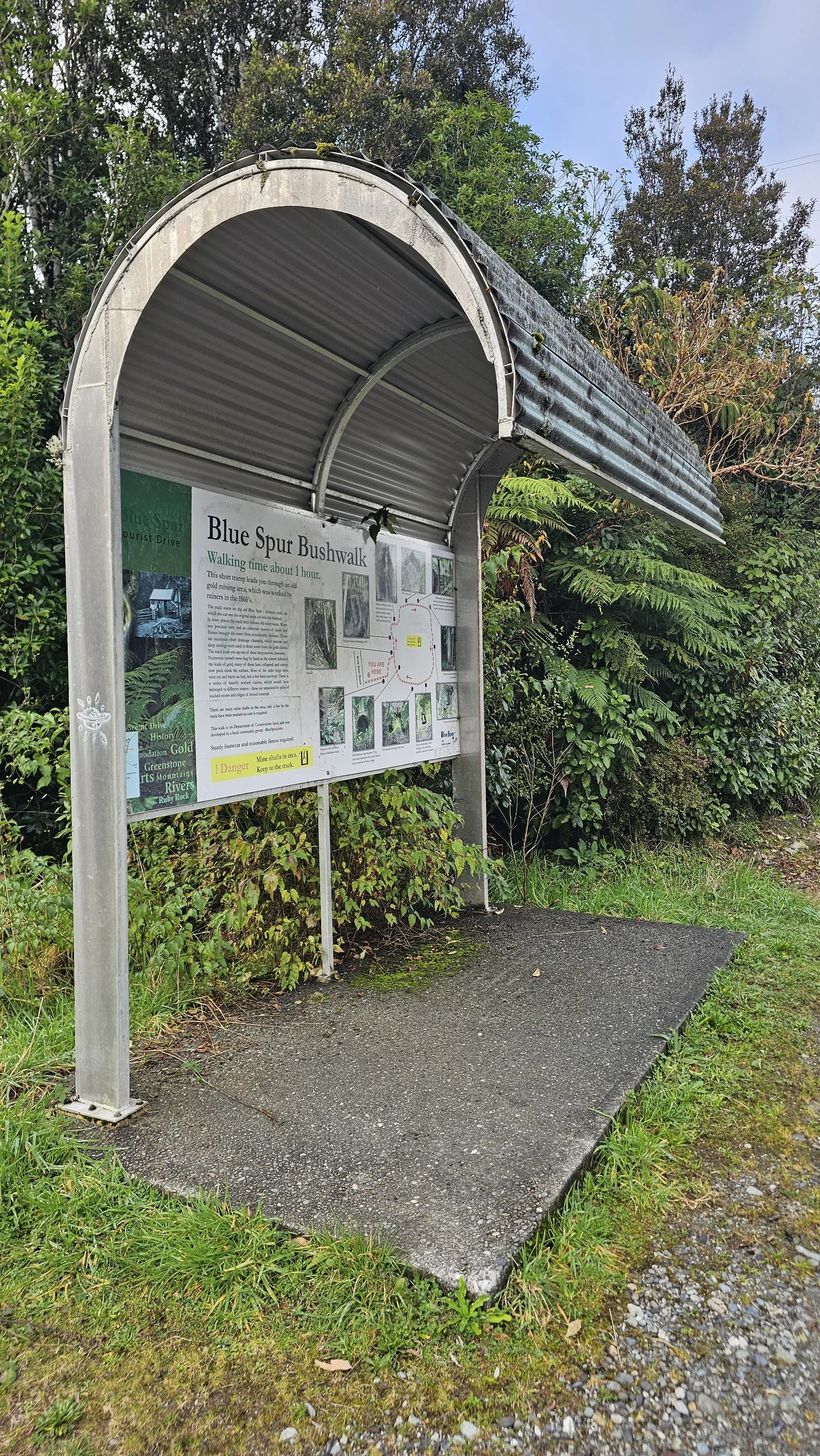
This is what the sign displayed when we visited.
The council guide specifically says care is required.
Roots, stone, uneven ground and plenty of ups and downs.
Some sections were clear. Others had us hunting for the next marker.
Mining history, tunnels, forest, fungi and unusual track features.
A deep rock-cut trench that carries on far longer than expected.
The Blue Spur trailhead sign said about one hour when we visited. Westland District Council visitor material lists the loop at 1.5 hours. We are showing both because walking pace, stops and track conditions can make a noticeable difference here.
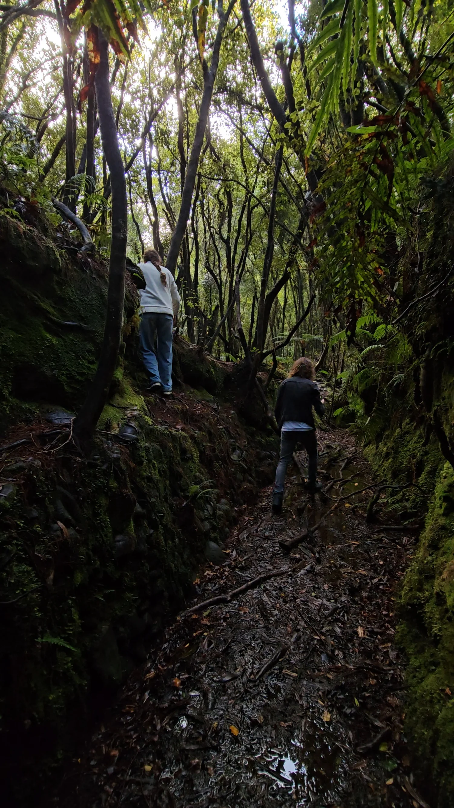
This was much more of a wild-forest track.
When we walked it, parts of the route felt barely maintained, and not every section of trail was immediately obvious.
Some paths were clear and easy to follow. Others disappeared into roots, leaves, rock and thick vegetation. There were plenty of ups and downs along the loop, with uneven footing and places where we slowed down simply to figure out where the trail continued.
That was actually part of what we liked about it. Once we were inside the forest, it felt like we were properly exploring rather than following a perfectly groomed walking path.
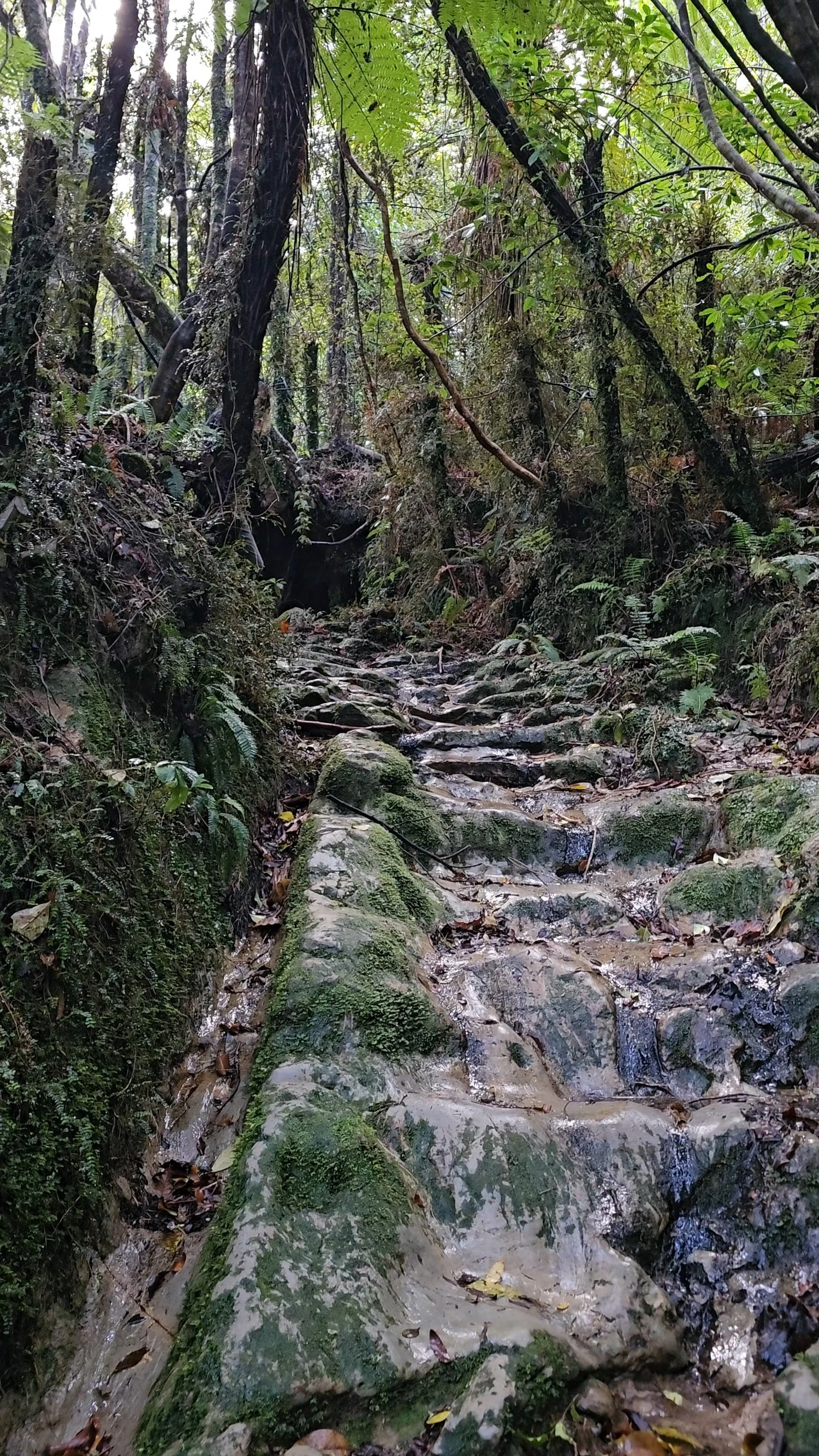
The forest kept revealing the old shape of the ground.
In places the trail climbed straight over exposed rock, with water running down the same surface we were walking on.
Wet rock, roots and leaf litter made good footwear feel worth having, and the constant ups and downs made the loop feel much more adventurous than its short distance suggests.
Even when we stopped walking, it was not quiet. We heard plenty of beautiful bird calls through the trees, even when we could not see what was making them. Mixed with dripping water and the sound of the bush around us, Blue Spur felt completely removed from the road.
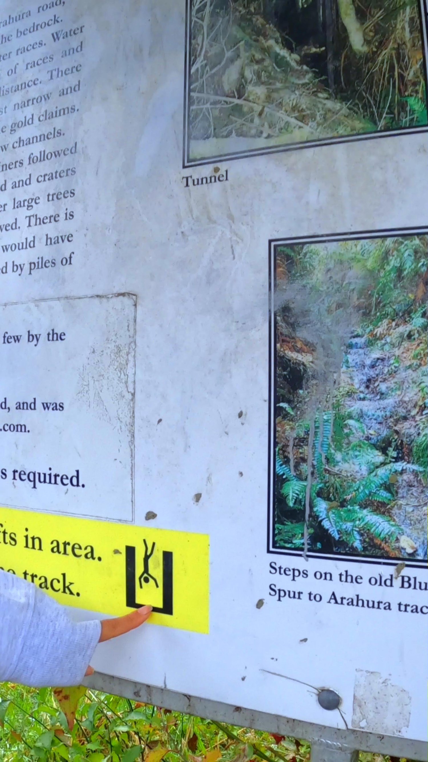
Thousands of miners once worked through these ridges.
The quiet bush we walked through looks nothing like the crowded goldfield that occupied Blue Spur in the 1860s.
Hokitika Museum records a major rush beginning in April 1865. Around 1,500 miners initially rushed to trace the Ho Ho Lead, and over the following months nearly every ridge of the Blue Spur Range was shafted or tunnelled.
What struck us most was how completely the forest has reclaimed the place. This was once busy ground cut through with tunnels, trenches, water races and built stone walls. Today trees, ferns, moss and roots are growing over much of it.
You still see pieces of what people built, but they appear almost unexpectedly through the vegetation. It makes the old goldfield feel like a place slowly disappearing back into the forest.
A major rush began at the headwaters of Ho Ho Creek in April 1865.
By mid-1866 the Ho Ho field population was estimated at about 2,500 people.
Hokitika Museum records Chinese miners working tunnels in the Blue Spur area from the later 1860s.
Races, tunnels, stone walls and altered ground remain, but much of the goldfield is now covered in regenerating bush.
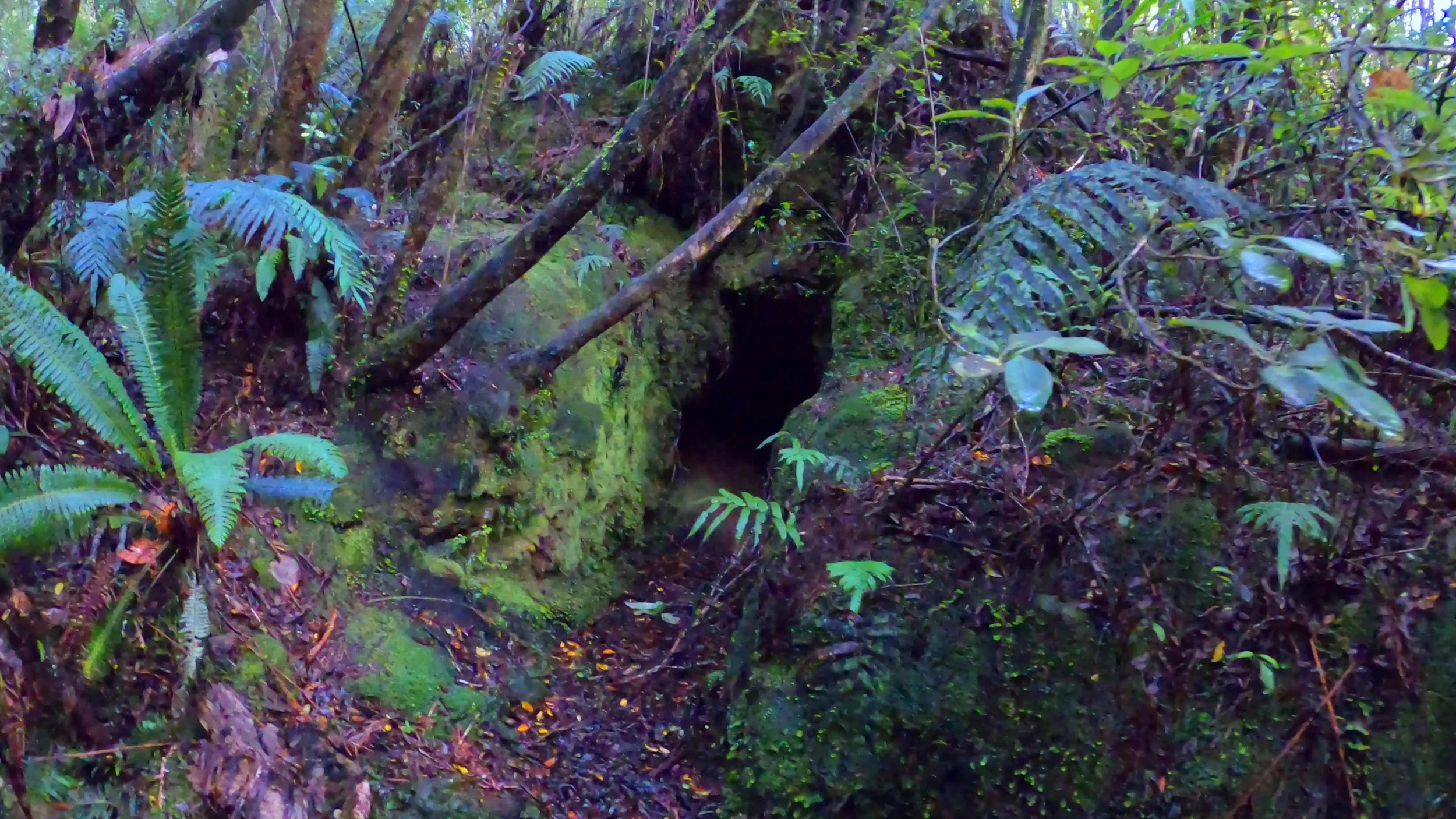
These are mining features, not natural caves.
Some of the openings along the route look like caves at first glance.
They are part of the old goldfield. Miners cut tunnels, shafts, channels and races into the landscape while working the buried leads.
Today many of those features are half-hidden by the forest, which made finding them feel like discovering pieces of the old site rather than walking through a preserved attraction.
We explored some of the small openings during our visit. They were wet, dark and apparently very popular with wētā and spiders. The video can keep the rest of that experience.
Then the forest started showing off the mushrooms.
We found colours on this trip that we do not remember seeing on our other New Zealand walks.
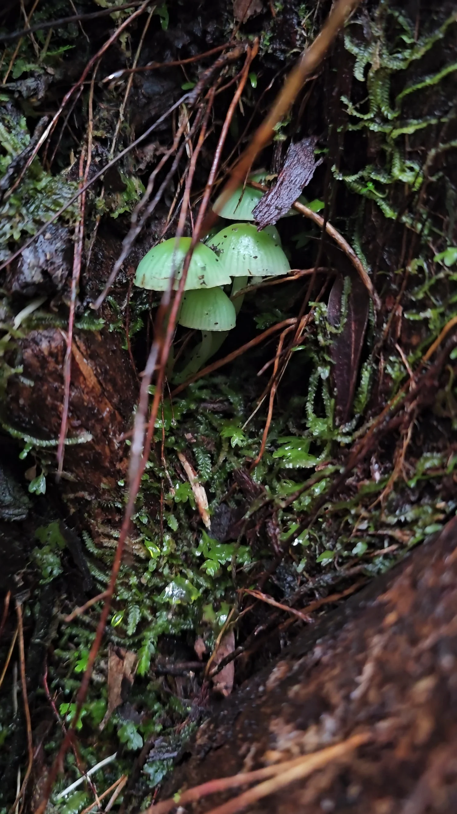
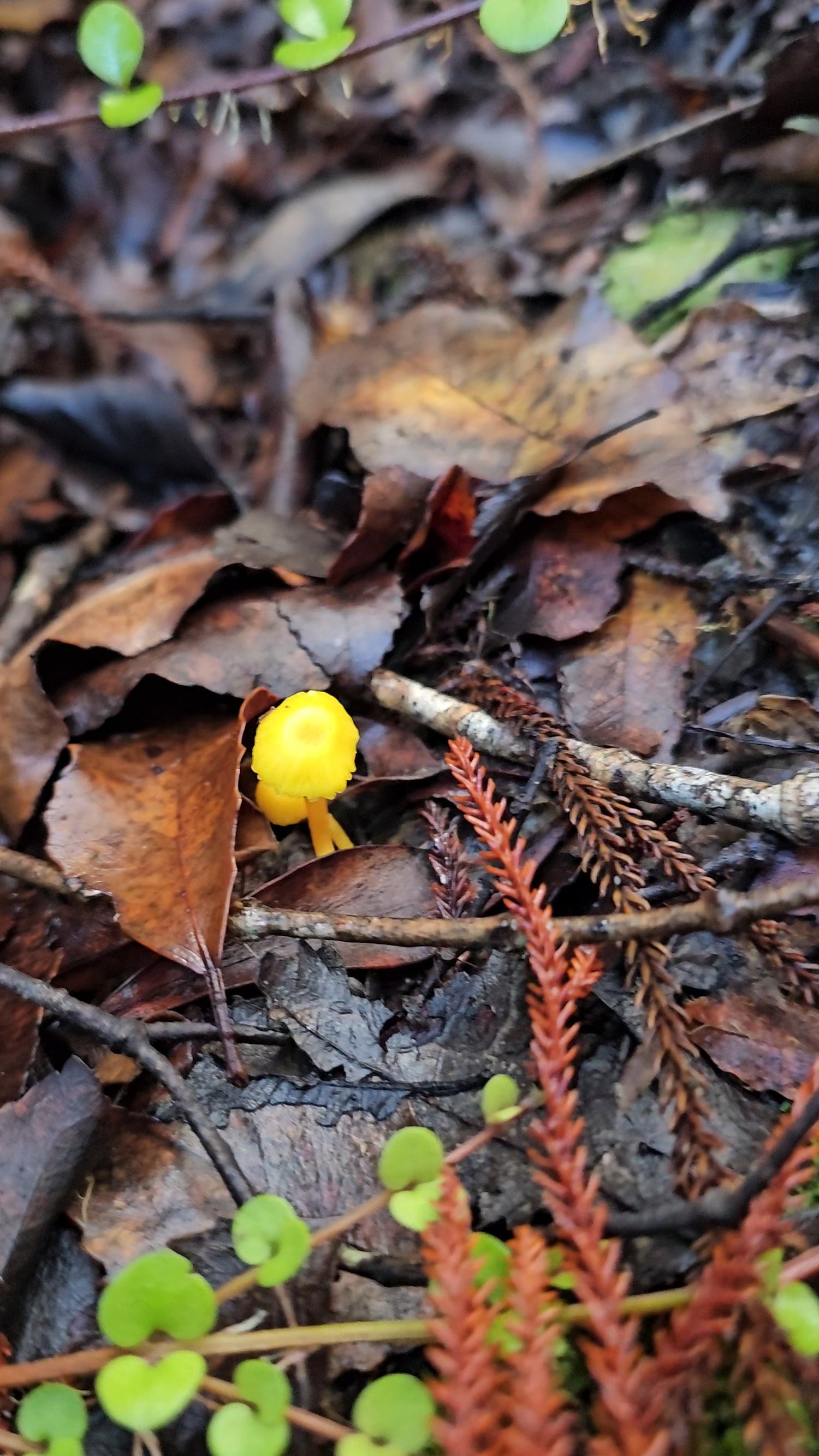
We are deliberately not assigning species names from appearance alone. Fungi can be difficult to identify accurately from photographs, but finding these colours was one of the small surprises of our walk.
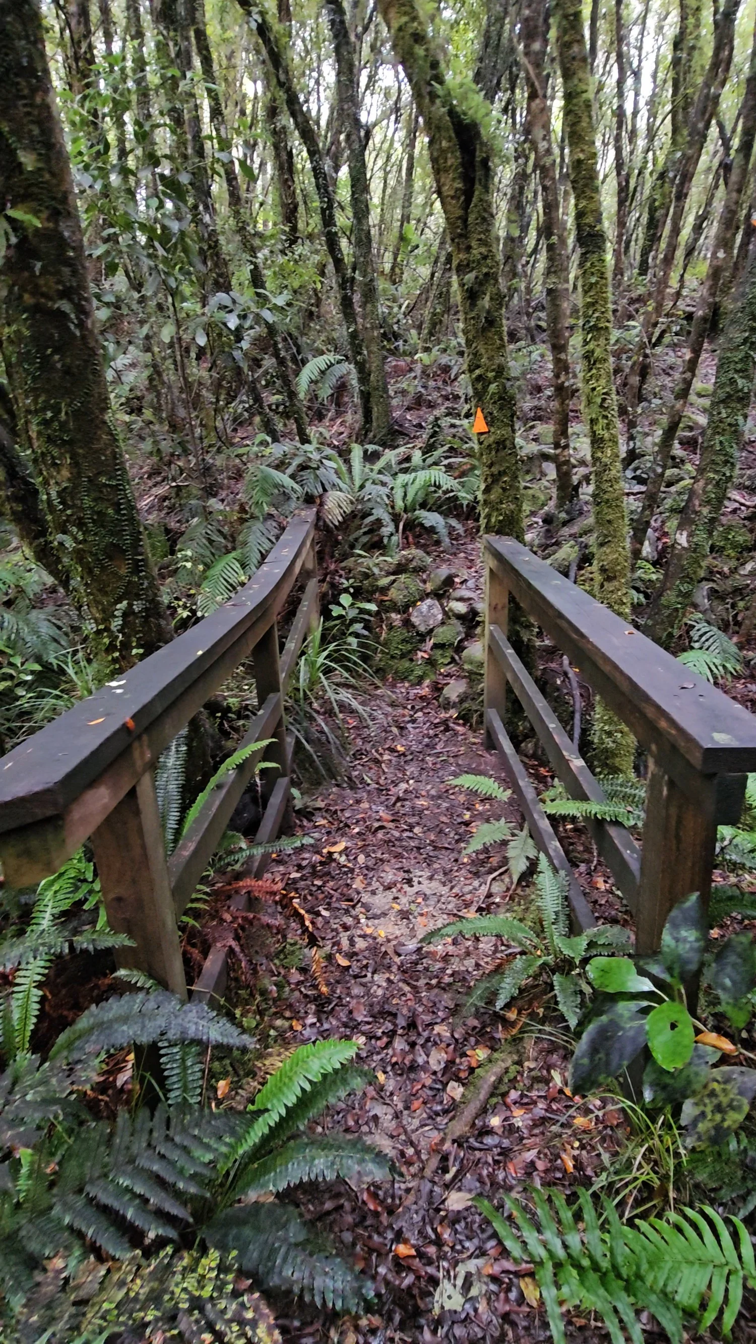
Those orange markers became our best friends.
In the clearer sections, following Blue Spur was straightforward. Then the path would disappear into rougher forest and we would start hunting for the next flash of orange.
The markers were bright enough to stand out brilliantly against all that green. More than once we wondered whether we had wandered off the route, only for another marker to appear farther ahead.
Somehow that made the walk more fun. It felt like the forest was giving us little clues.
We followed them through wet bush, over rock, across this little timber bridge and eventually straight into the strangest section of the loop.
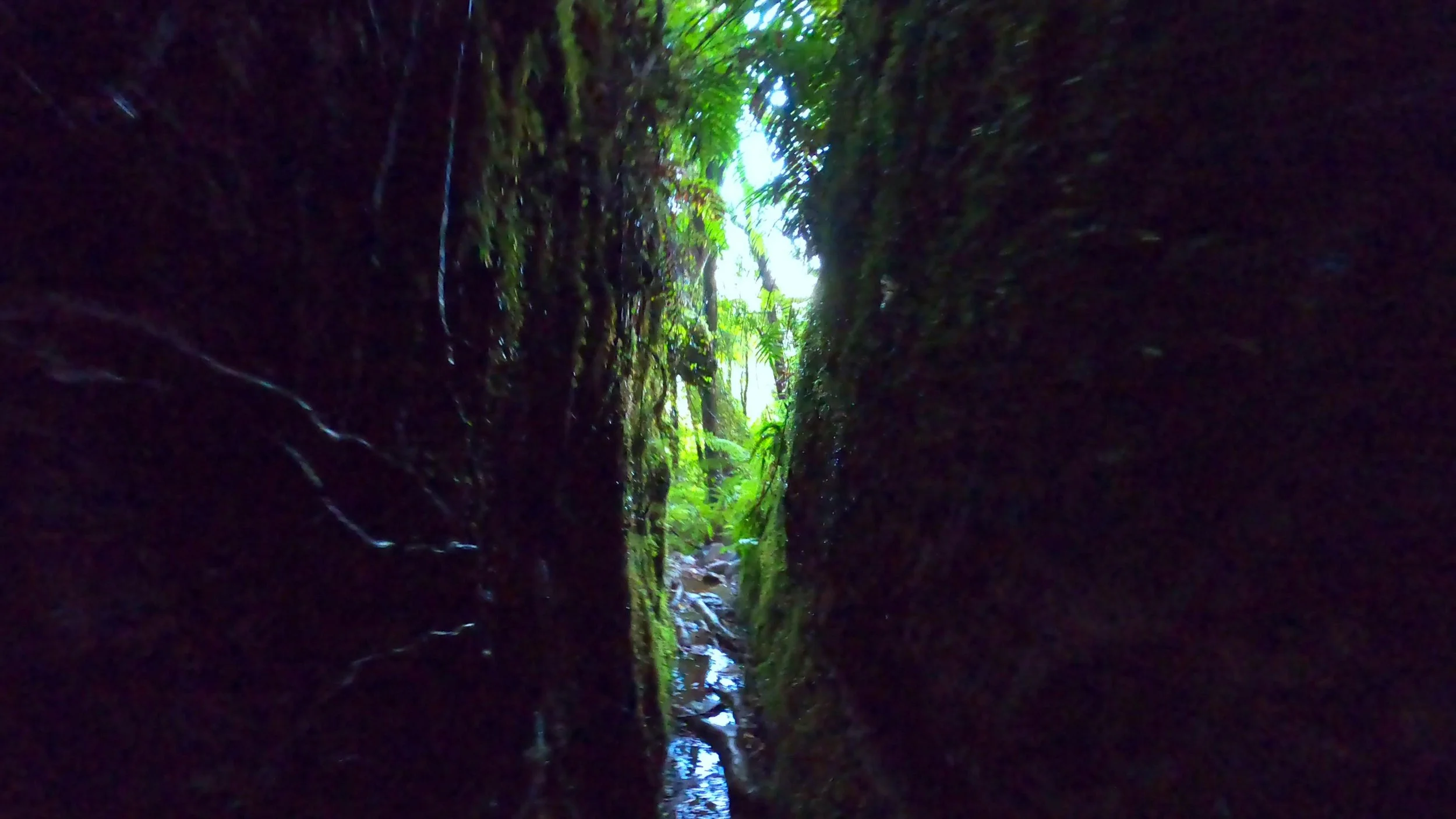
How far does this thing go?
Much farther than we expected.
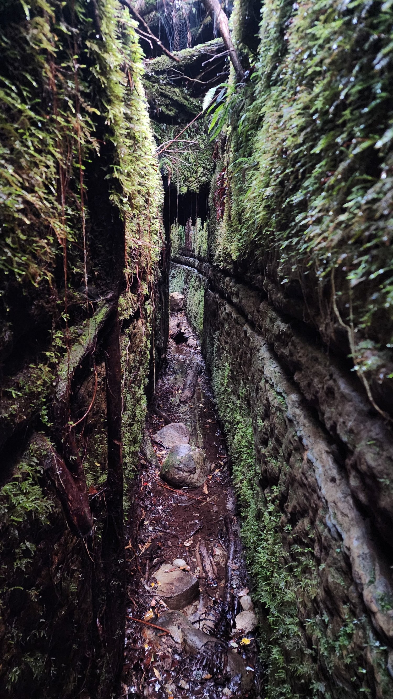
We thought this might be one short squeeze between the rocks. Instead, the old water race carried on through the forest with high moss-covered walls rising around us.
The trench twisted ahead, opened up in places and then narrowed again. Every time it looked like it might finish, it seemed to keep carrying on.
Eventually it squeezed tight enough that we had to turn sideways to move comfortably through it.
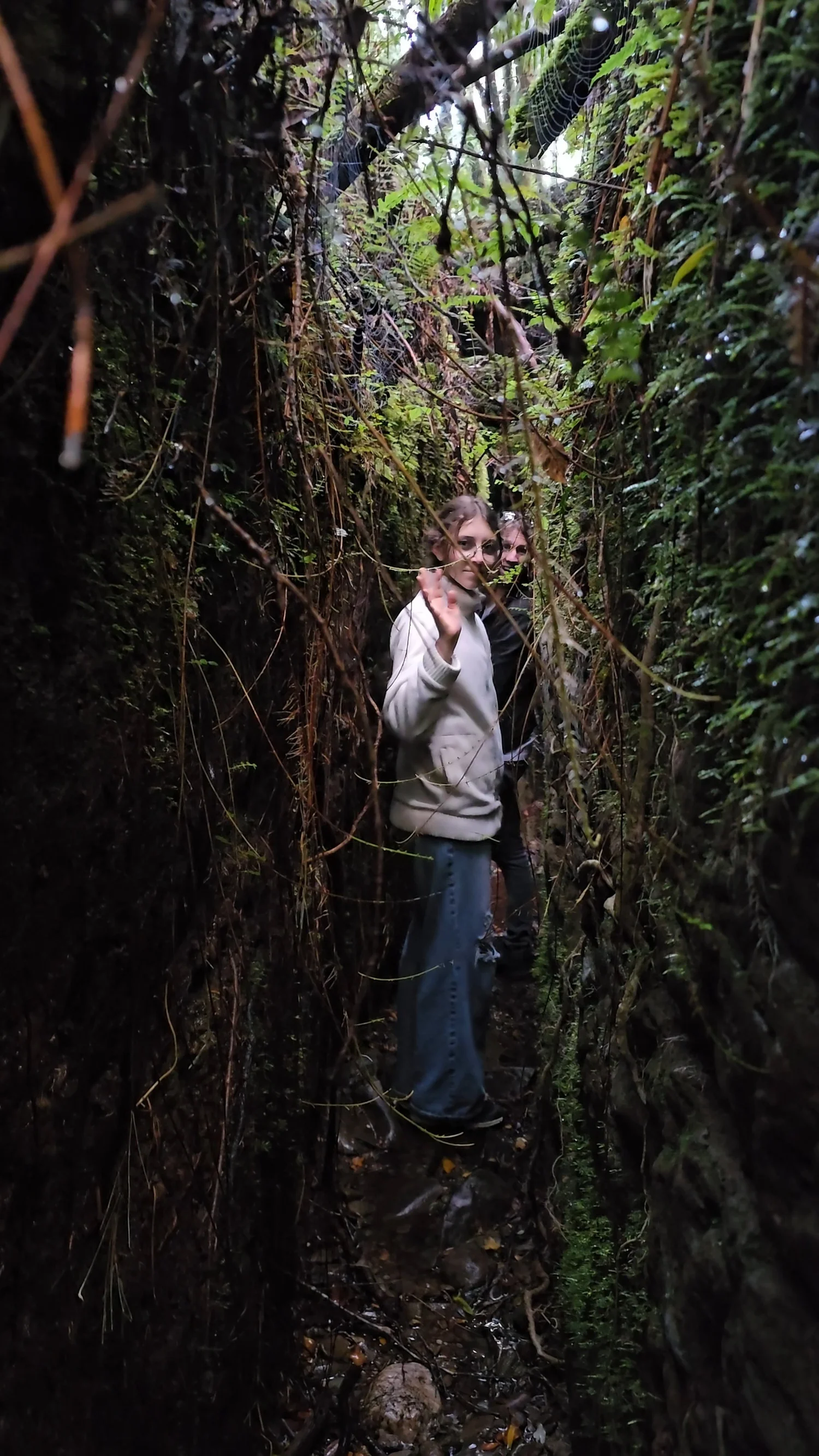
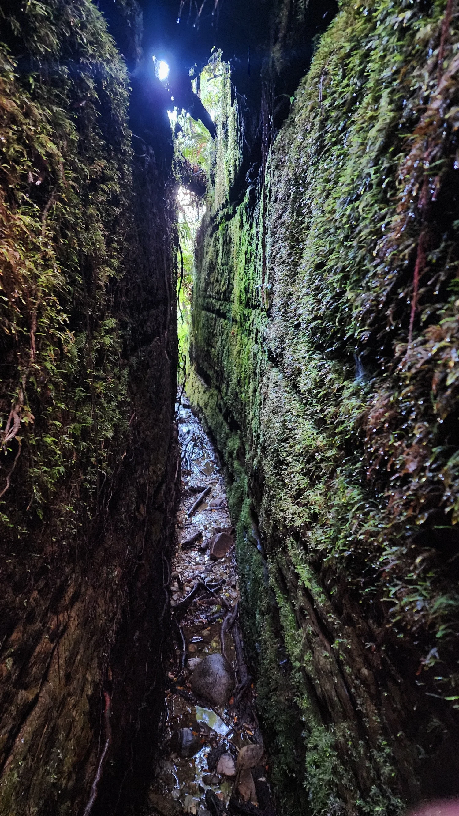
Deep, narrow and much longer than it looks.
This was the part of Blue Spur we kept talking about afterward.
The walls are solid rock, green with moss, and the trench continues much farther through the forest than a single photograph can really show.
In the tightest places it gets close to shoulder width, which made it feel less like a normal walking trail and more like following part of the old mining system itself.
If tight spaces bother you, this is the section worth knowing about before you go.
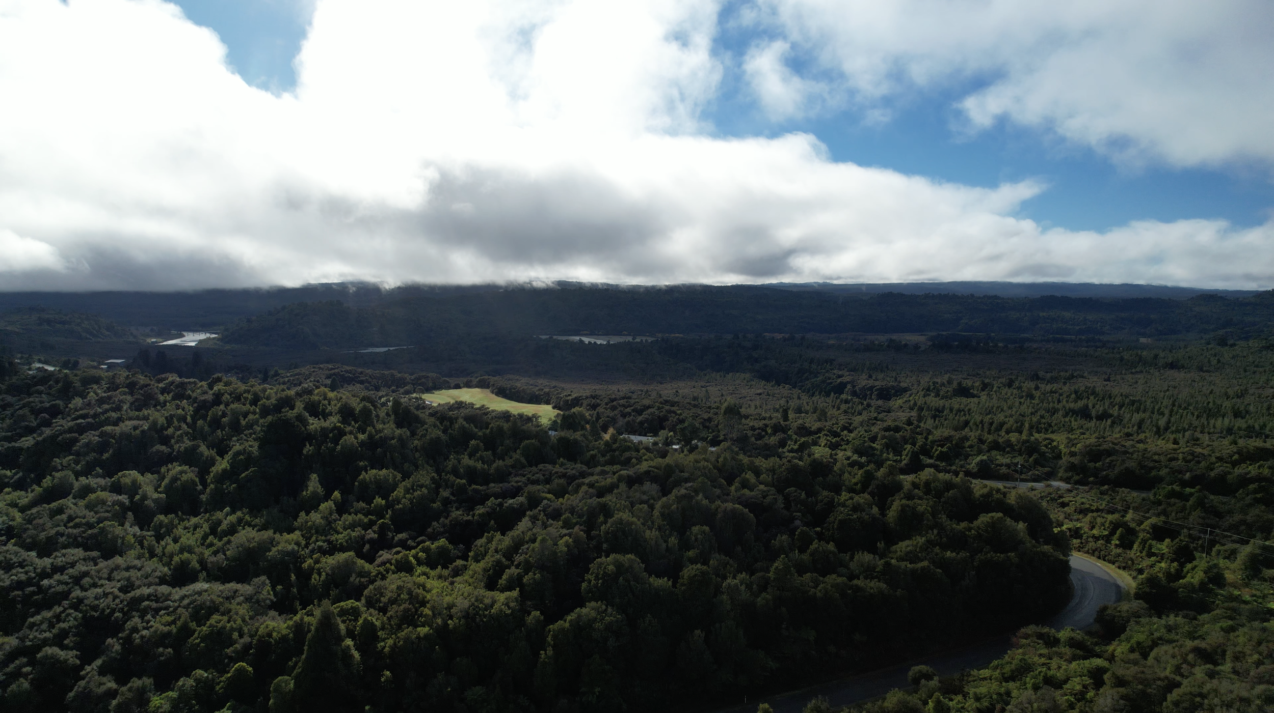
Gold is only one chapter of this area.
Blue Spur sits within the wider Arahura area, a landscape with deep importance to Poutini Ngāi Tahu.
Te Rūnanga o Ngāi Tahu identifies the Arahura Valley as one of the principal traditional sources of pounamu and a place of particular significance to Poutini Ngāi Tahu.
That history long predates the nineteenth-century gold rush that later transformed Blue Spur.
Wear shoes you trust and keep watching for orange.
This is one of those short walks where the distance does not tell you much about the footing or navigation.
The council guide recommends it, and our track was wet and uneven in places.
During our visit, some stretches of the route were much easier to follow than others.
Historic drops, shafts and old workings remain throughout the area.
The old water race genuinely narrows to around body width in places.
The loop is short, but our route included repeated climbs, drops, roots, rocks and uneven sections.
We used light to look into darker mining openings along the route.
Is Blue Spur Bushwalk good for families?
Our family loved it, but this was definitely the more rugged kind of short walk.
More attention required
Wet rocks, roots, large steps and uneven ground made us slow down in places.
Keep looking for orange
Some paths were obvious. Others had us checking carefully for the next trail marker.
Know about the water race
The narrow section could be uncomfortable for someone who strongly dislikes confined spaces.
Something constantly changes
Tunnels, trenches, stone walls, fungi, rock cuts and trail markers kept us curious.
Our day was wet
The ground conditions described here are what our family encountered on our visit.
Rugged, strange and completely worth exploring
The disappearing trail, old mining remains and that ridiculously long rock-cut trench made this loop feel like a genuine little exploration.
This is one of those places that makes more sense once you watch us try to follow it.
The full episode keeps the reactions, tunnel visitors, route-finding moments and the point where we realise that orange marker really does mean this strange trench is the trail.
 ▶
Watch on YouTube
▶
Watch on YouTube
Without question.
Blue Spur felt like diving into a piece of the West Coast that nature had almost taken back completely.
This was once busy mining ground, cut through with tunnels, trenches, races and built stone walls. Now the forest has grown over it so thoroughly that pieces of the old goldfield appear almost unexpectedly through the bush.
Add in the rougher trail, bird calls, orange markers, wet rock, strange mushrooms and that long moss-covered trench, and this became one of the most memorable short loops of our West Coast trip.
Our family had a blast exploring it.
Blue Spur Bushwalk FAQ
How long does Blue Spur Bushwalk take?
How difficult is Blue Spur Bushwalk?
Is the Blue Spur track easy to follow?
Where does Blue Spur Bushwalk start?
Is the narrow rock passage really part of the trail?
How long is the narrow trench?
Is Blue Spur Bushwalk suitable for children?
Should I wear hiking shoes?
Are the tunnels natural caves?
Is the walk good if you are claustrophobic?
Official and historical information used for this guide
Track classification, published walking time and safety information come from Westland District Council and Hokitika visitor information. Gold-mining history comes from Hokitika Museum. Arahura cultural context comes from Te Rūnanga o Ngāi Tahu. Comments about track maintenance, navigation, wet ground, bird sounds, family difficulty and how the walk felt describe our own visit.