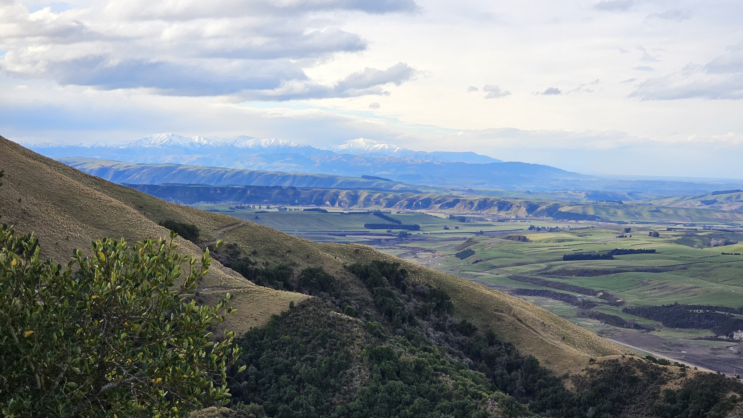
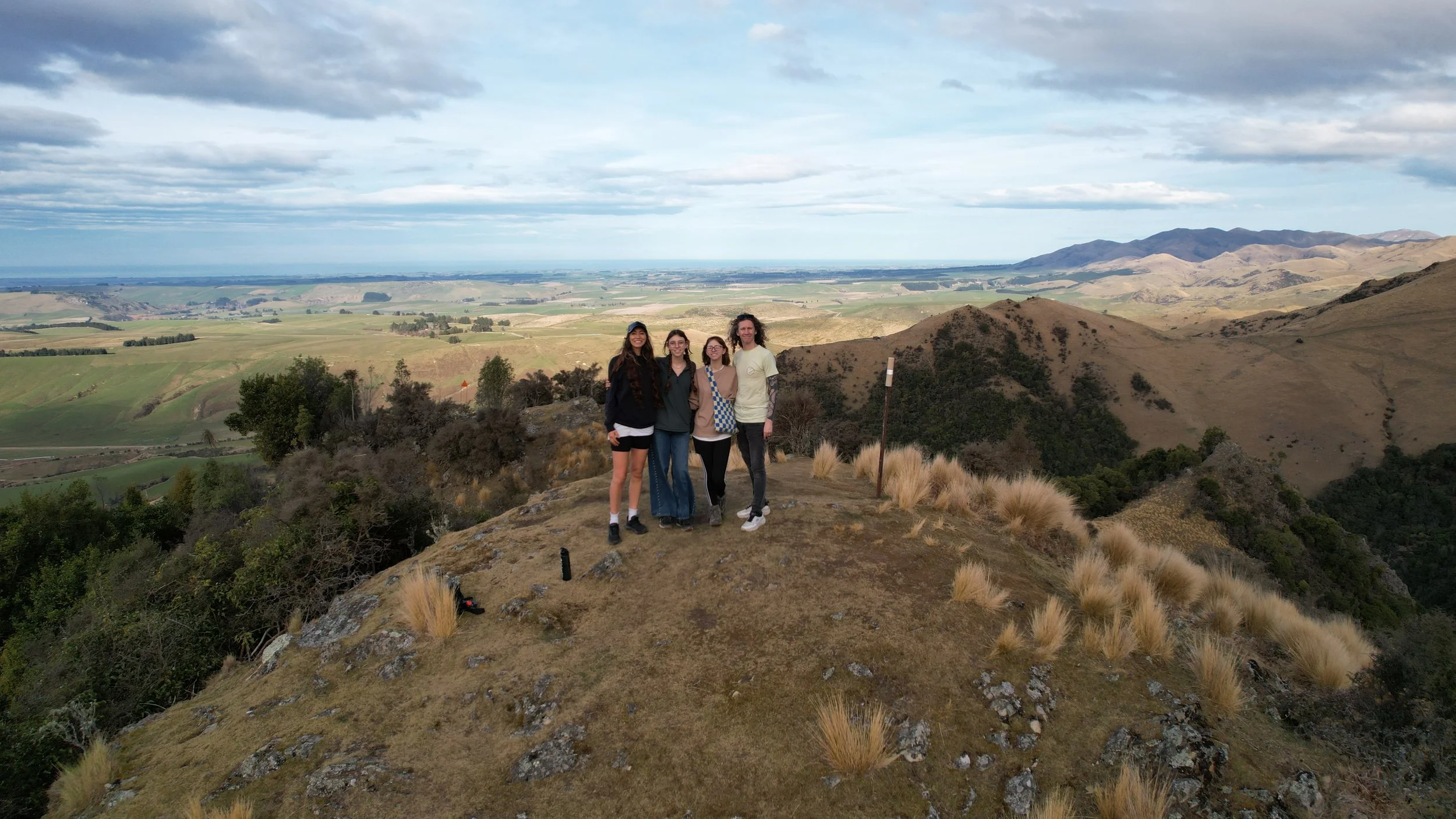
Mt Nimrod Track We seriously underestimated this hike.
A steep loop through the Hunters Hills led us past wallabies, a waterfall hidden in the bush and one final climb we definitely did not see coming.
“Track has steep, difficult sections. Proceed with caution.”
We read the DOC warning at the start. It still did not fully prepare us for what the track was about to do.
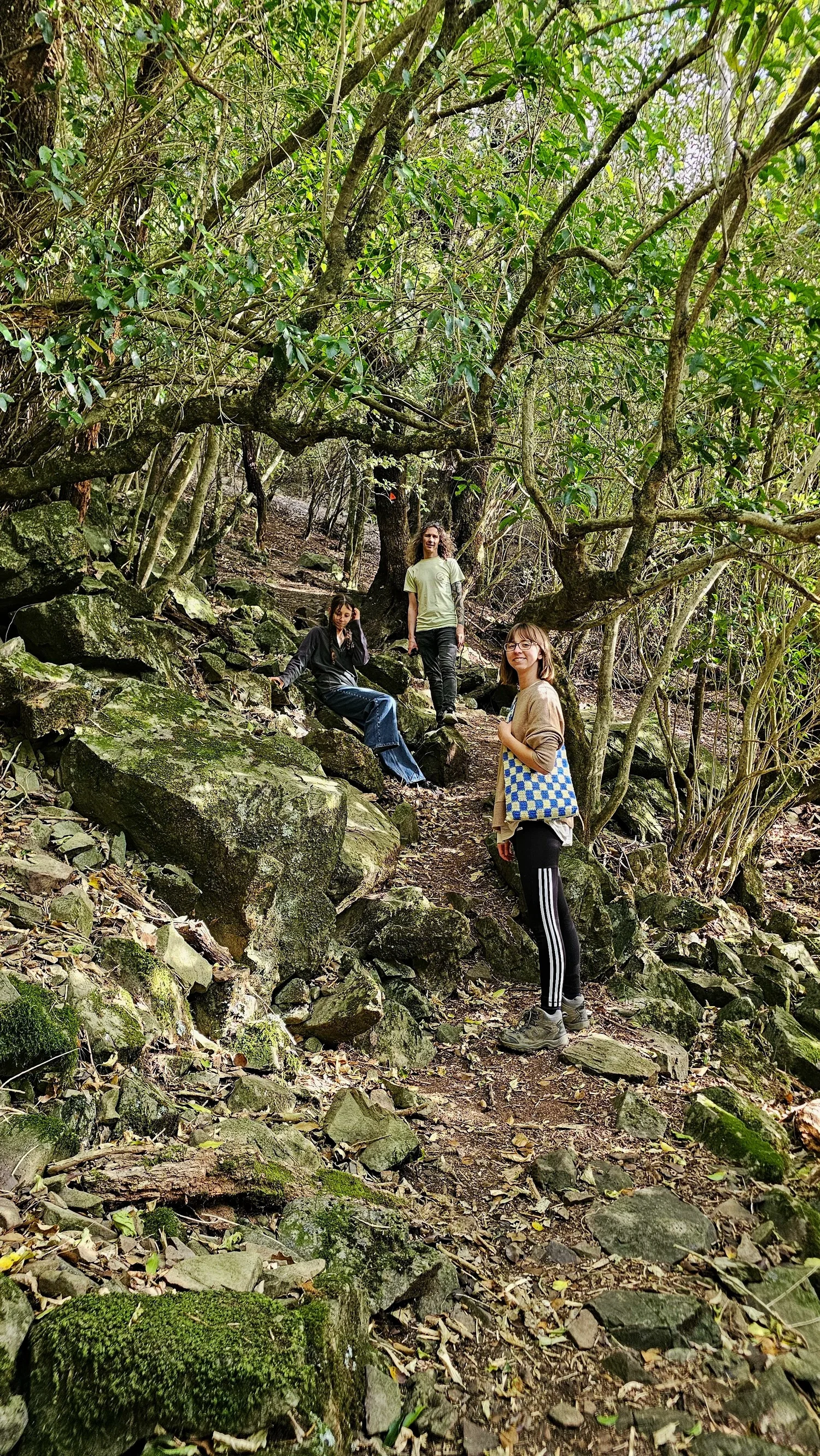
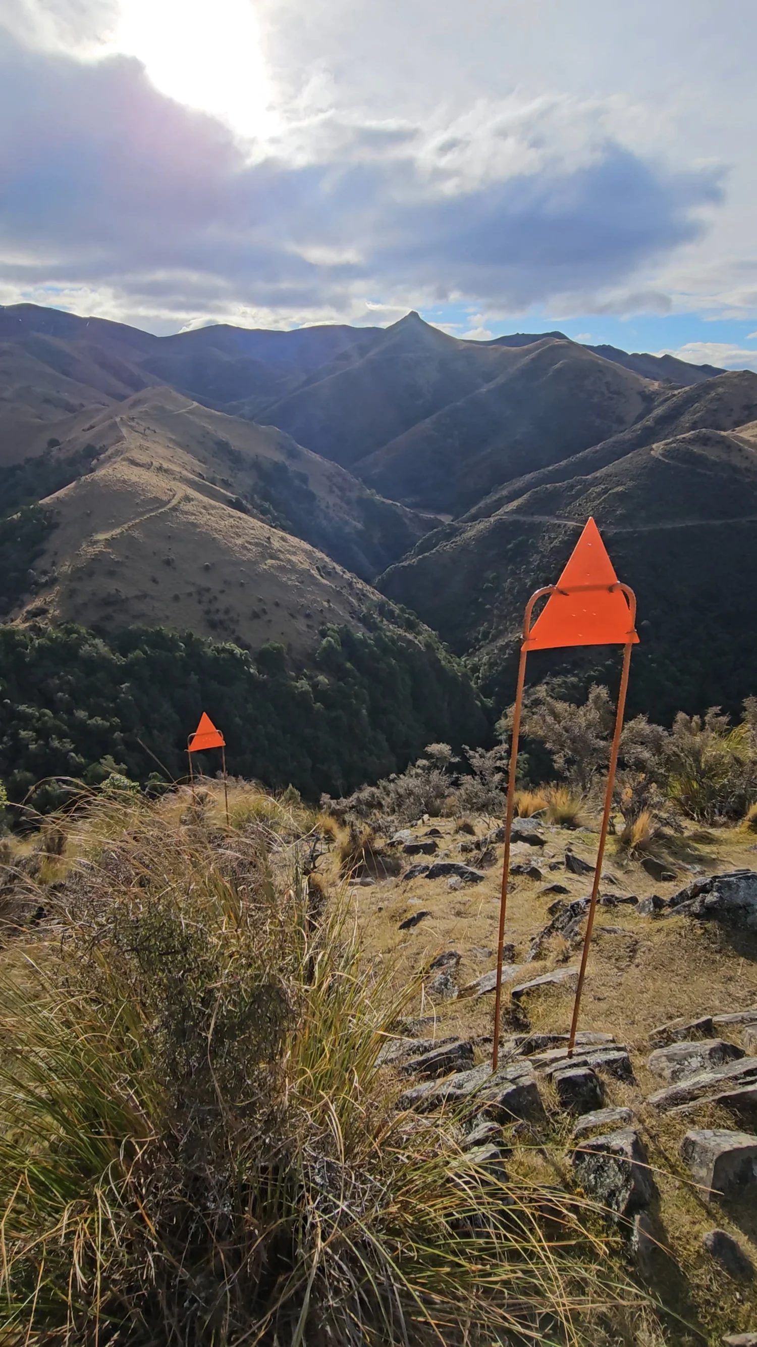
The climbing started almost immediately. Then the trail narrowed, dropped away beside us and began throwing in rocky sections where using our hands suddenly felt completely reasonable.
We came hoping to find wildlife and a waterfall. We found both, but every time we thought the hardest part had to be behind us, Mt Nimrod seemed to reveal another hill.
It matches the direction DOC currently describes. For us, we preferred dealing with the climbs and descents this way rather than imagining some of those steeper sections in reverse. That is our experience from the day, not a guarantee that one direction will feel easier for everyone.
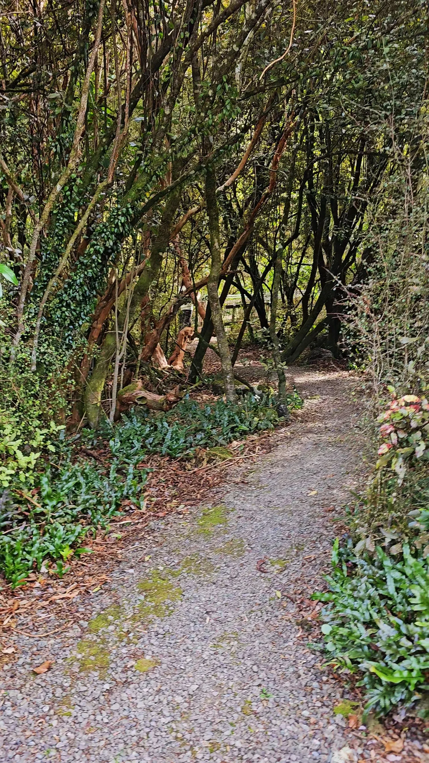
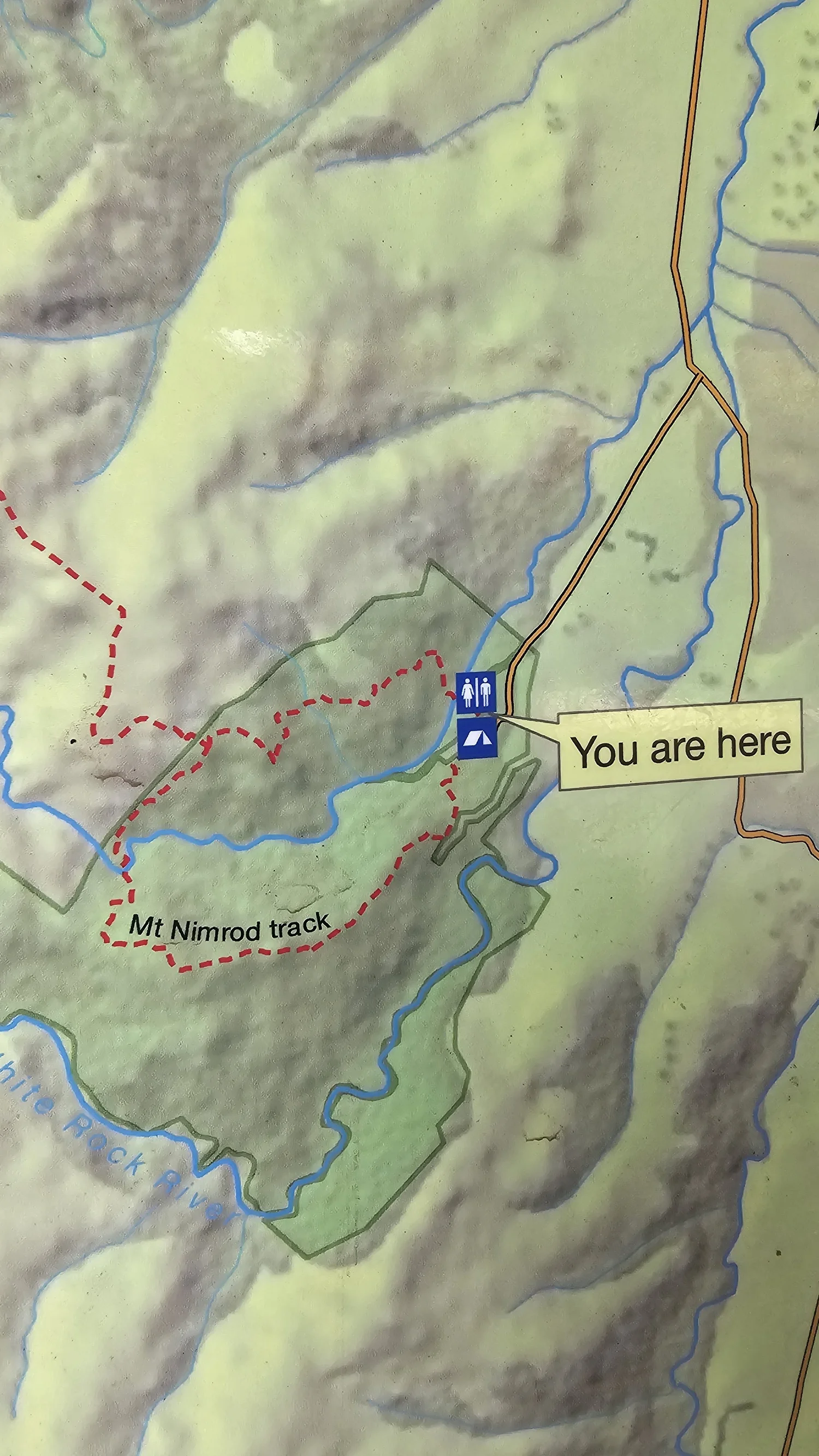
Mt Nimrod Track.
South Canterbury, about 32 km southwest of Tīmaru.
DOC warns that the route is steep and uneven in places.
Distance recorded during our family hike, not an official DOC figure.
Our GPS elevation gain for the day.
DOC describes the waterfall as cascading through a small rock arch.
This matches DOC's current route description, and we were glad we tackled the loop this way.
Dogs are not allowed in Mt Nimrod Reserve.
Sharp climbs, descents, uneven ground and a stream ford.
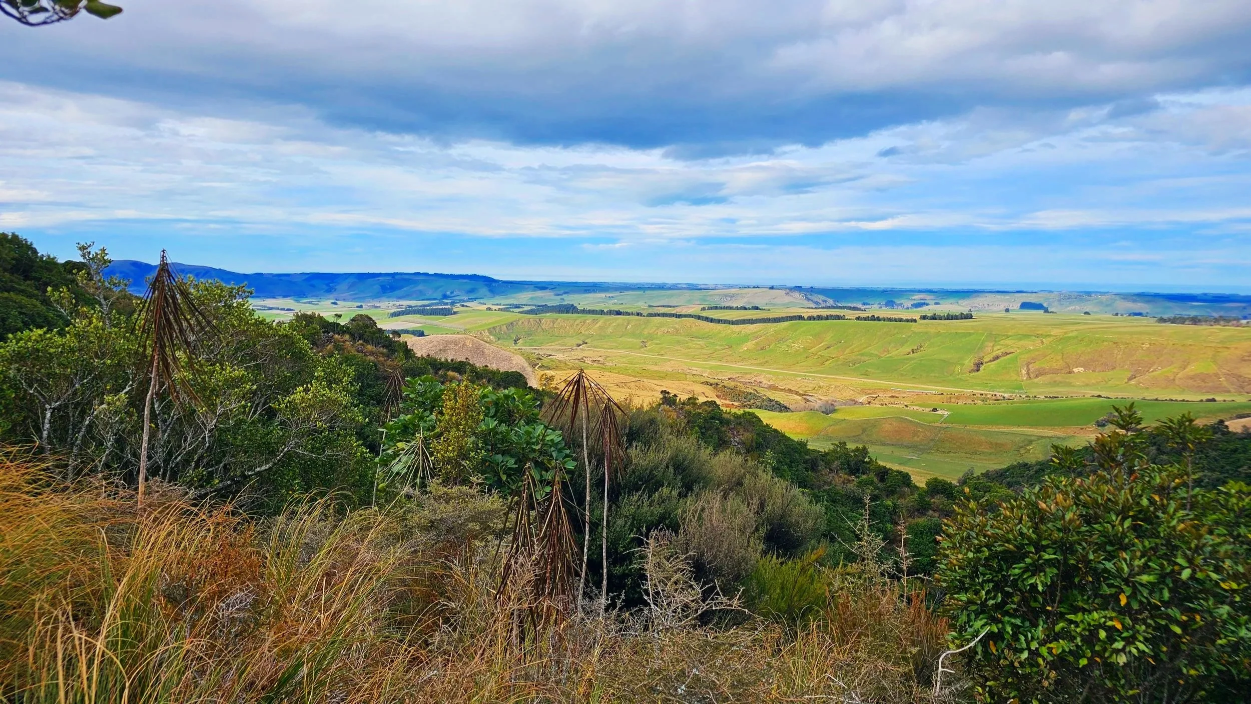
This stopped feeling like a normal walk very quickly.
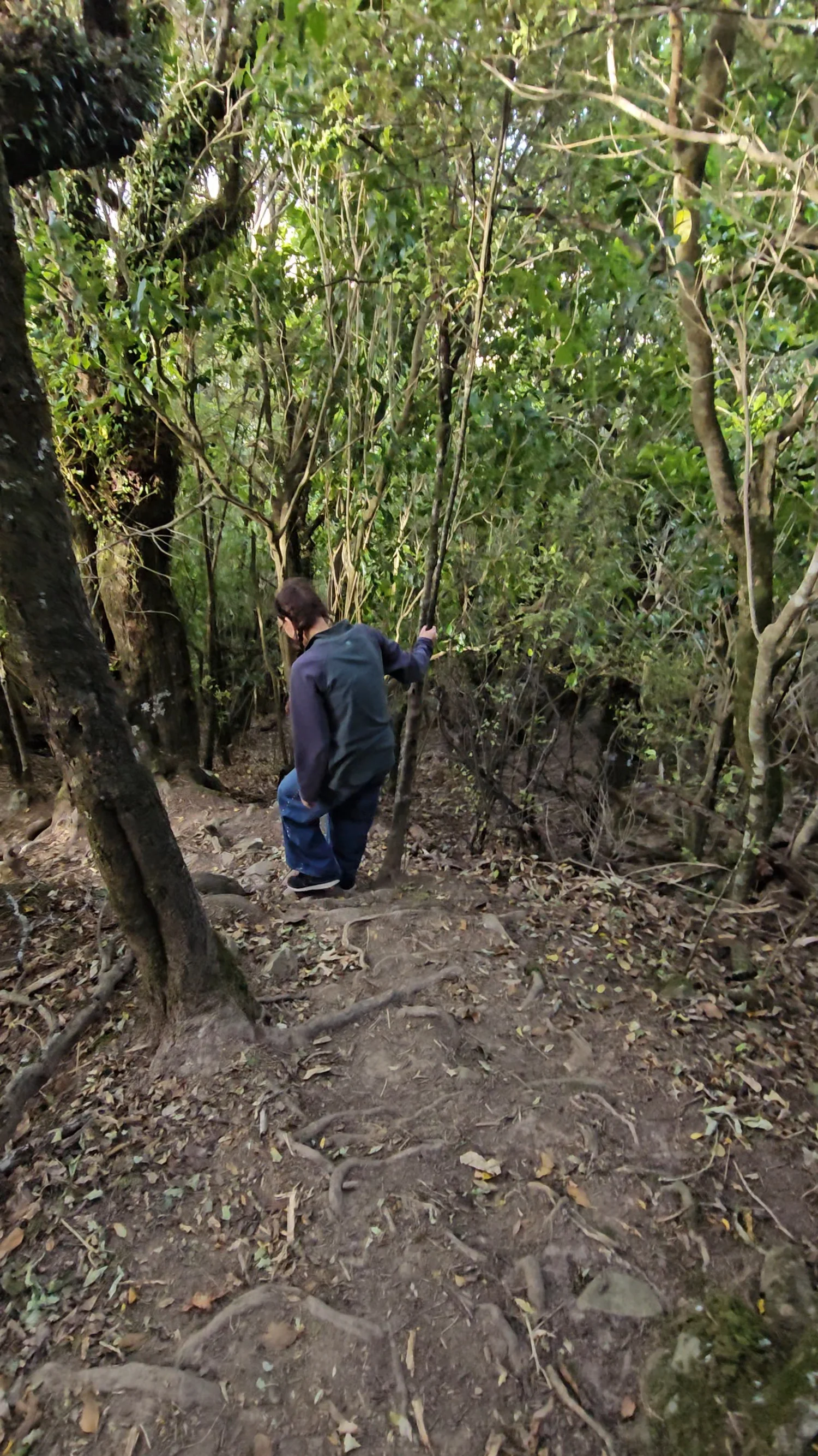
DOC calls the track steep and uneven. For us, that meant narrow ground, sharp drops, rocky sections and places where we were using our hands as much as our feet.
Up. Down. Across the stream. Then back up again.
The official route description explains why this little loop packs in so much climbing.
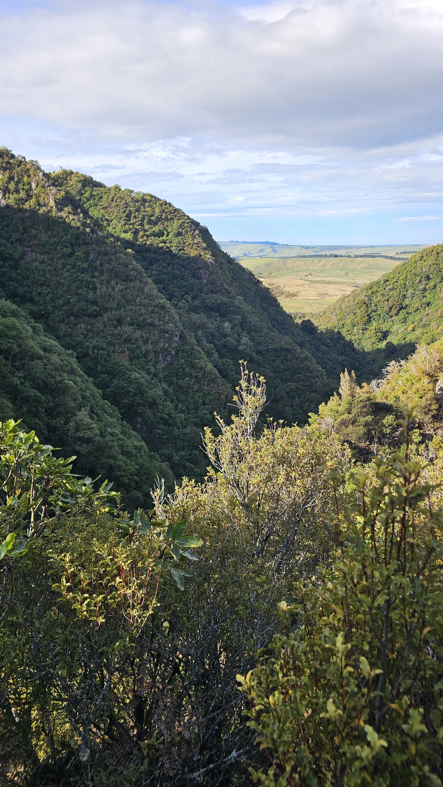
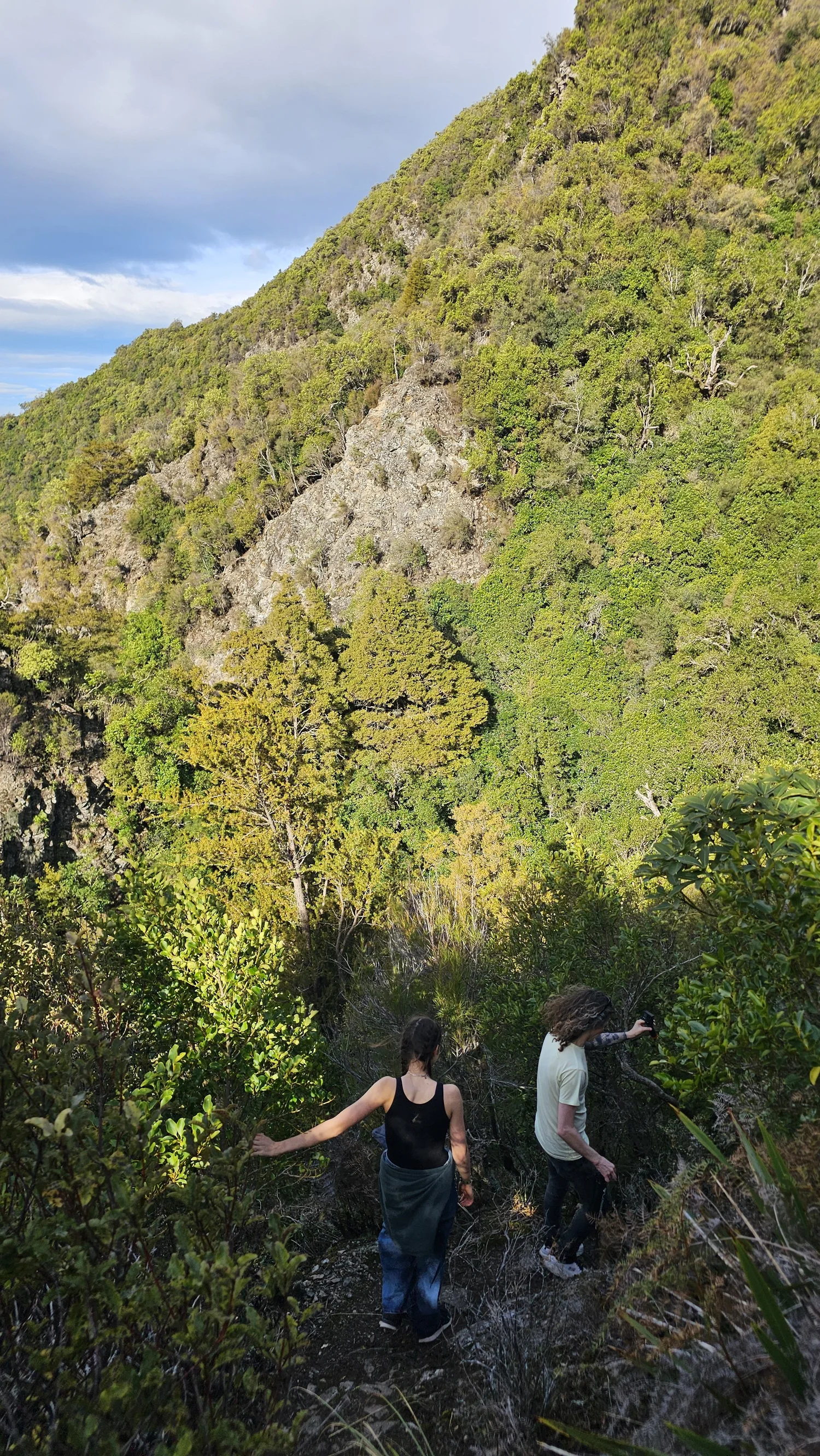
Climb out of the forest
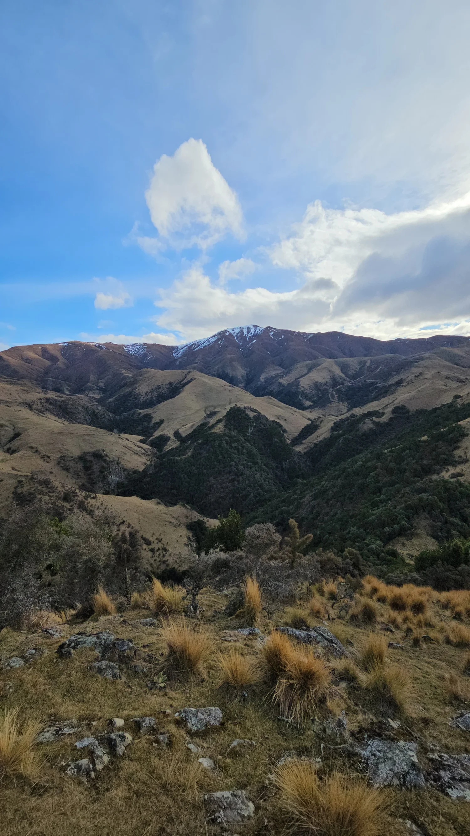
The circuit initially climbs steeply from the forest toward a lookout.
Drop to Nimrod Stream
The route then descends sharply toward the stream.
Ford the stream
DOC says Nimrod Stream must be crossed as part of the route.
Waterfall side trip
A short detour upstream leads toward the 15 m waterfall.
Climb again
The trail climbs onto rocky knolls before descending through forest to the car park.
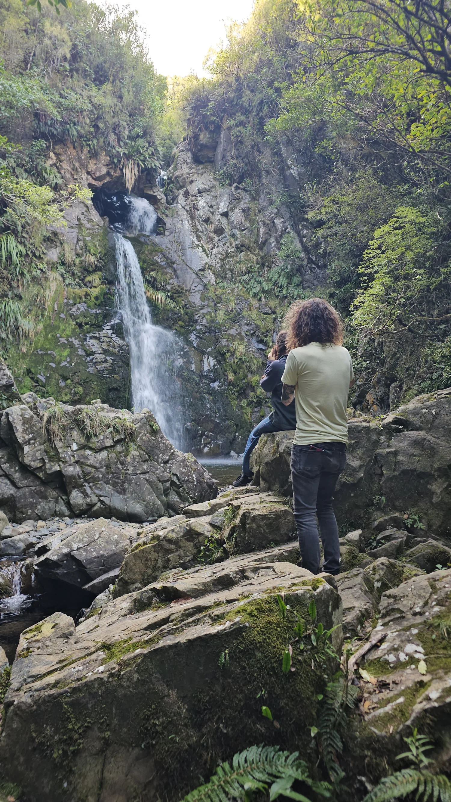
Somewhere below all those hills was a waterfall hidden in the bush.
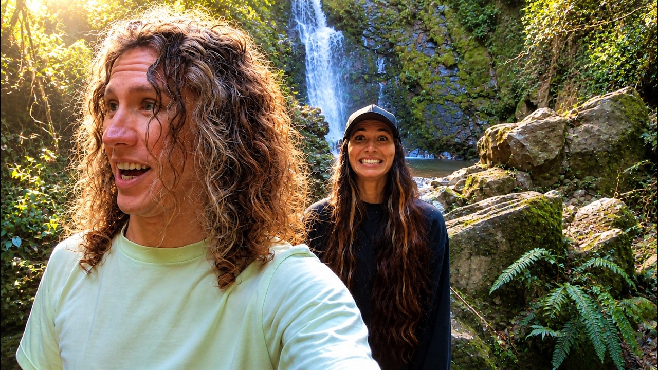
DOC describes it as a 15 metre waterfall cascading through a small rock arch. We could hear it before we properly saw it, then followed the detour upstream.
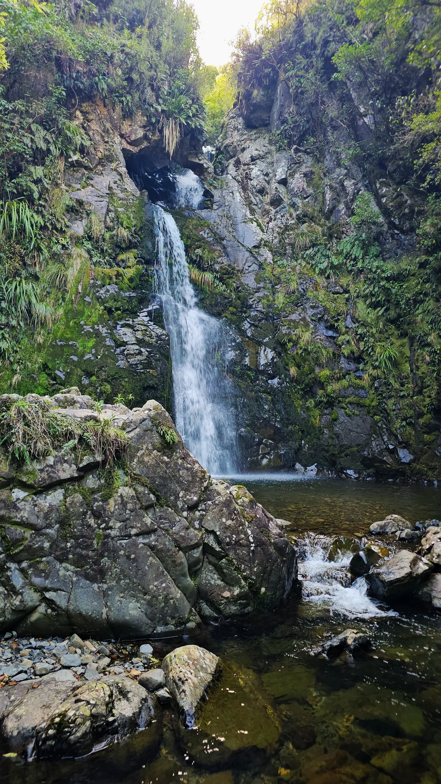
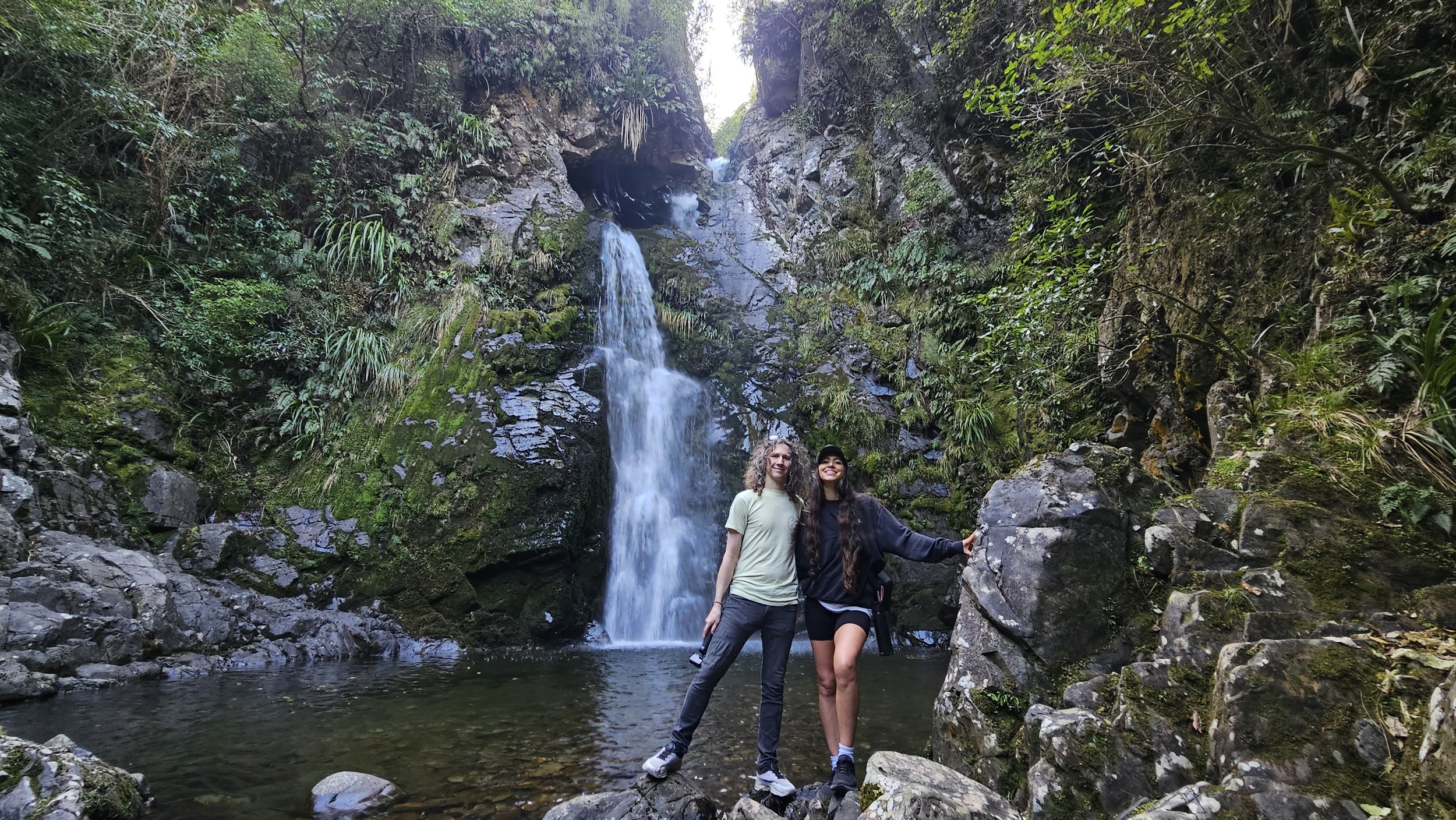
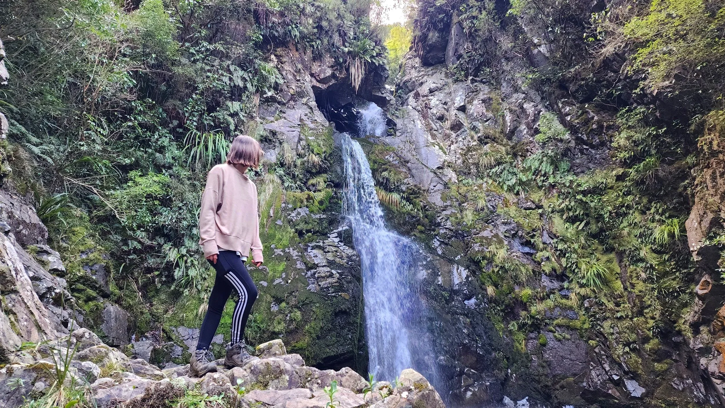
Then we finally spotted what we had been listening for in the bush.
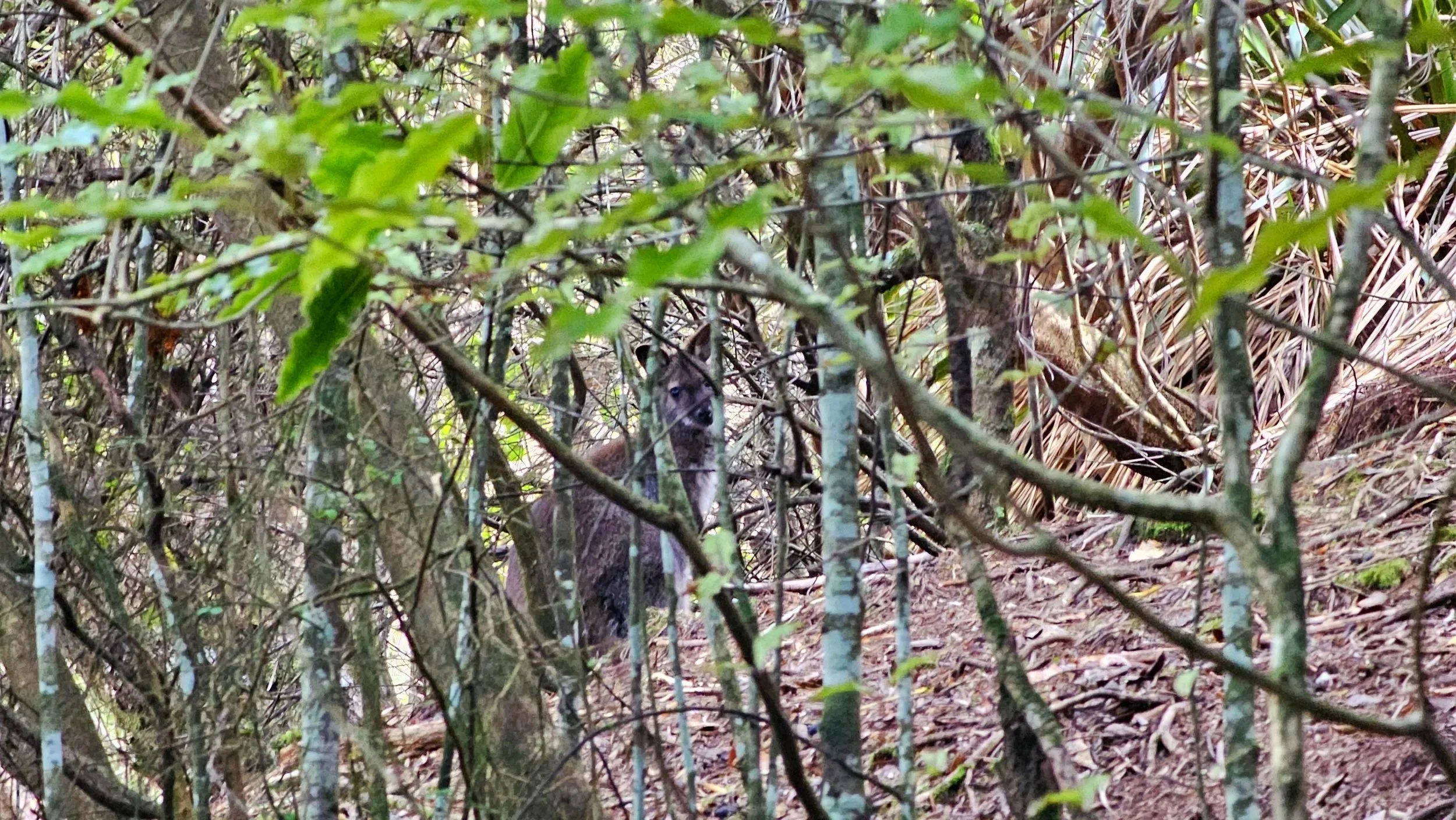
Seeing a wallaby on a New Zealand hike was a first for us.
It was a really fun family moment, especially after spending so much of the track listening for movement around us.
Finding one was genuinely exciting. It was the first time we had spotted a wallaby while hiking in New Zealand.
Bennett's wallabies are introduced to South Canterbury and are managed as a pest because they damage native vegetation and productive land.
We found the waterfall.
Then we looked up.
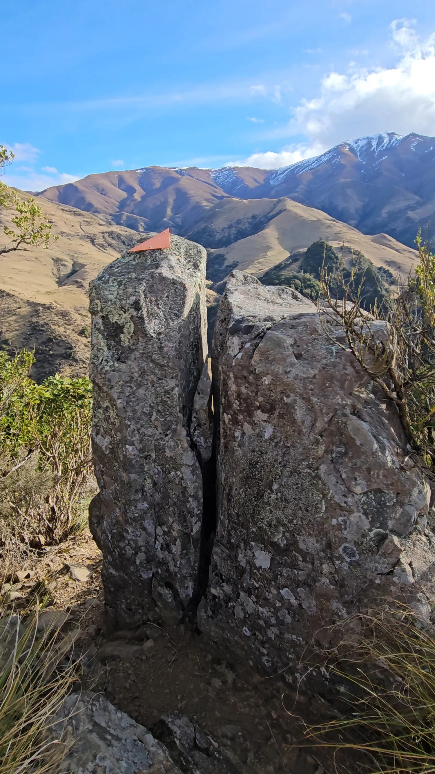
The trail markers continued straight up the hill. This was the climb we definitely had not seen coming.
Hands on the hill going up. Trees for support coming back down.
This was where the track really earned its Advanced Tramping Track classification for us.
Our legs already knew the answer was more than expected.
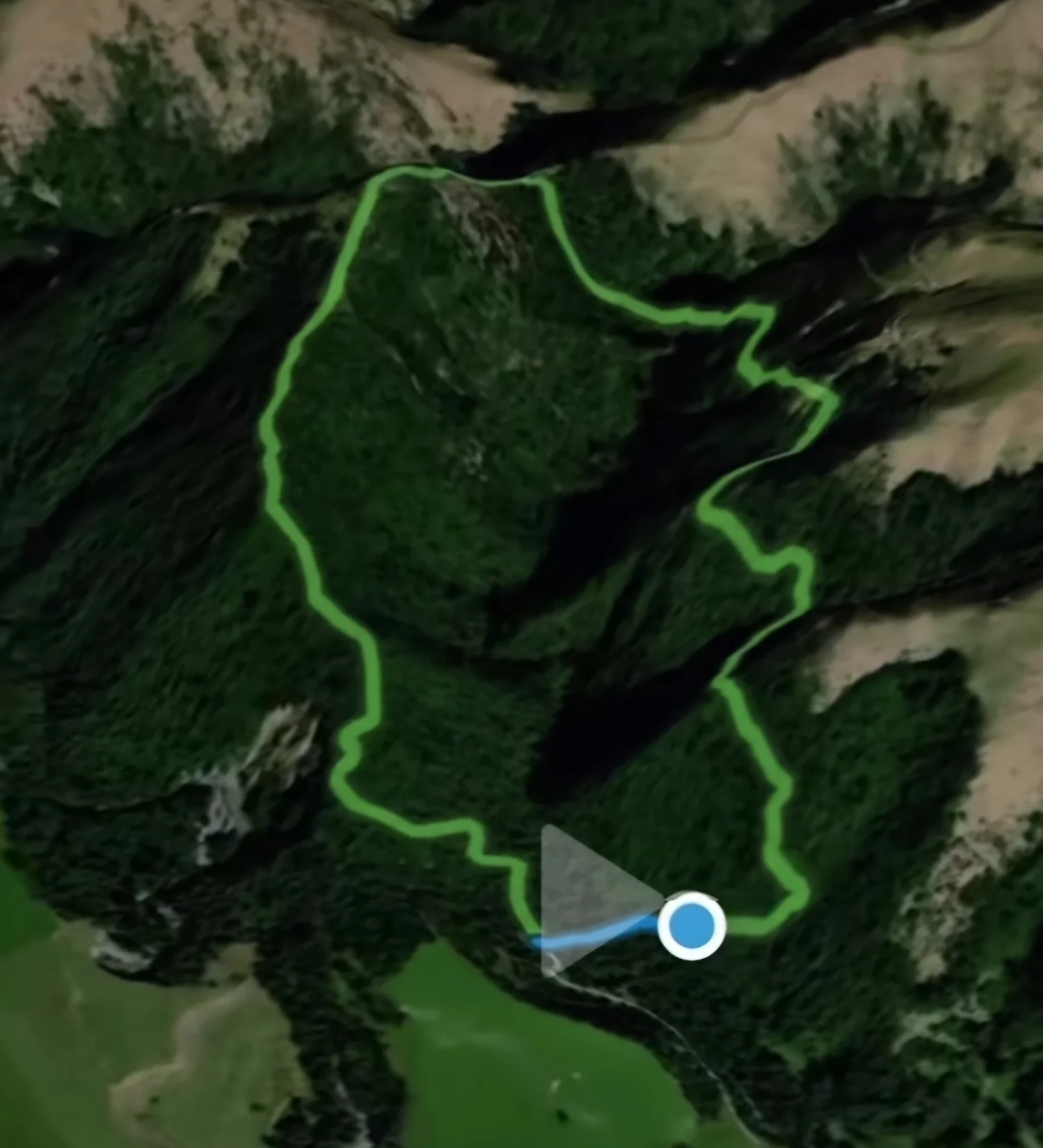
At the end of the hike we checked our own GPS recording.
Our own GPS result from this hike.
Approximate elevation gain recorded during our hike.
These are our recorded figures, not official DOC track specifications. GPS distance and elevation can vary between devices and conditions.
We seriously underestimated this hike.
Come with us through the steep sections, wallaby hunt, hidden waterfall, surprise climb and slippery descent.
 ▶
▶
Mt Nimrod is short on kilometres. It is not short on difficulty.
This is the part we would want someone to understand before choosing the track.
Track grade
DOC currently classifies Mt Nimrod Loop Track as an Advanced Tramping Track and warns that it is steep and uneven in places.
Direction
We walked the loop counter-clockwise, which matches DOC's current route description. After finishing, we were glad we tackled it that way.
Stream crossing
DOC's current route description includes a ford of Nimrod Stream. Water levels and conditions can change.
Waterfall detour
The waterfall is reached via a short upstream detour. DOC specifically warns hikers to watch for slippery rocks.
Heights and steep drops
We encountered exposed-feeling sections, steep terrain and sharp descents. Anyone uncomfortable with that type of track should take the DOC warning seriously.
Dogs
Dogs are not permitted in Mt Nimrod Reserve.
Family suitability
Our family completed the loop, but that does not make it a general family walking track. DOC grades it Advanced, so experience and comfort on steep uneven terrain matter.
Check before leaving
Weather, stream conditions, access and DOC alerts can change. Check the current DOC page before travelling.
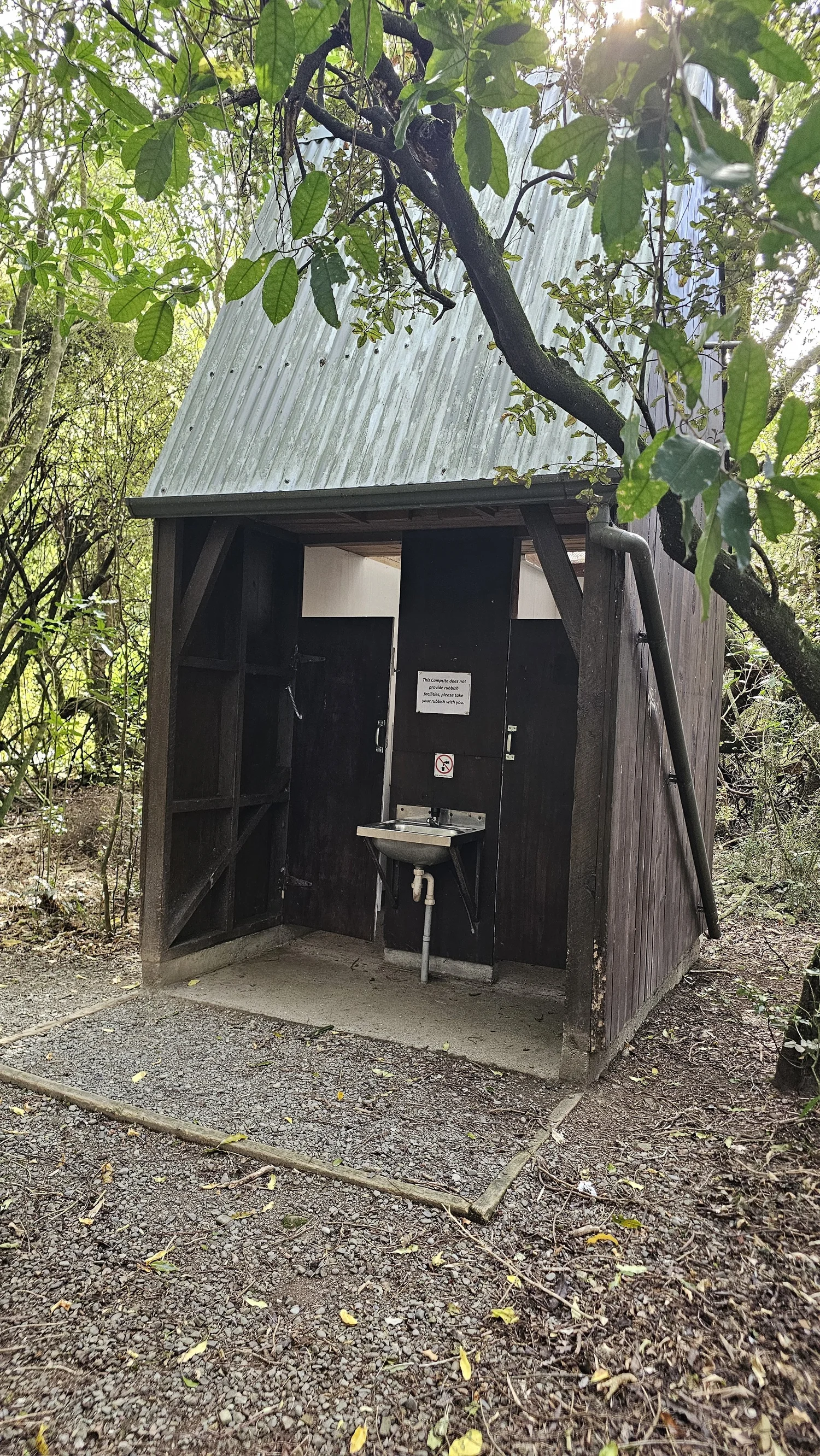
Tucked into the Hunters Hills.
DOC places Mt Nimrod Reserve about 32 km southwest of Tīmaru. Access follows rural roads into the reserve. Near the end, follow the DOC signs straight into the reserve and do not turn onto the private Mt Nimrod farm driveway.
Mt Nimrod Campsite sits beside the reserve. Check DOC for current fees, booking requirements, availability and any access changes before travelling.
What we would want to know before going.
How hard is Mt Nimrod Track?
Which direction did you walk Mt Nimrod Track?
How long is Mt Nimrod Track?
How much elevation gain is there?
Is there a waterfall on Mt Nimrod Track?
Do you have to cross a stream?
Are there wallabies at Mt Nimrod?
Is Mt Nimrod Track suitable for children?
Can dogs go on Mt Nimrod Track?
Official facts and our experience are kept separate.
Track classification, route description, waterfall height, access and dog rules on this page are based primarily on Department of Conservation information.
Our 4.65 km distance, approximate 460 m elevation gain, counter-clockwise preference, reactions to the terrain and descriptions of what challenged us come from our own hike.
Tougher than expected. Better than expected too.
Between the waterfall, wallabies, views, ridiculous climbs and all the laughs along the way, Mt Nimrod gave us a lot more adventure than its distance suggests.