Cesspool Gorge Walk
A rainforest walk along the Arahura River to a blue gorge and one seriously wild one-person swing bridge.
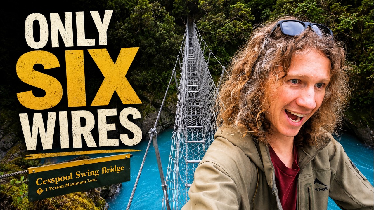
The bridge was the reason we came. The river made the whole walk worth it.
We headed into the Arahura Valley knowing there was a strange old swing bridge waiting somewhere farther up the track.
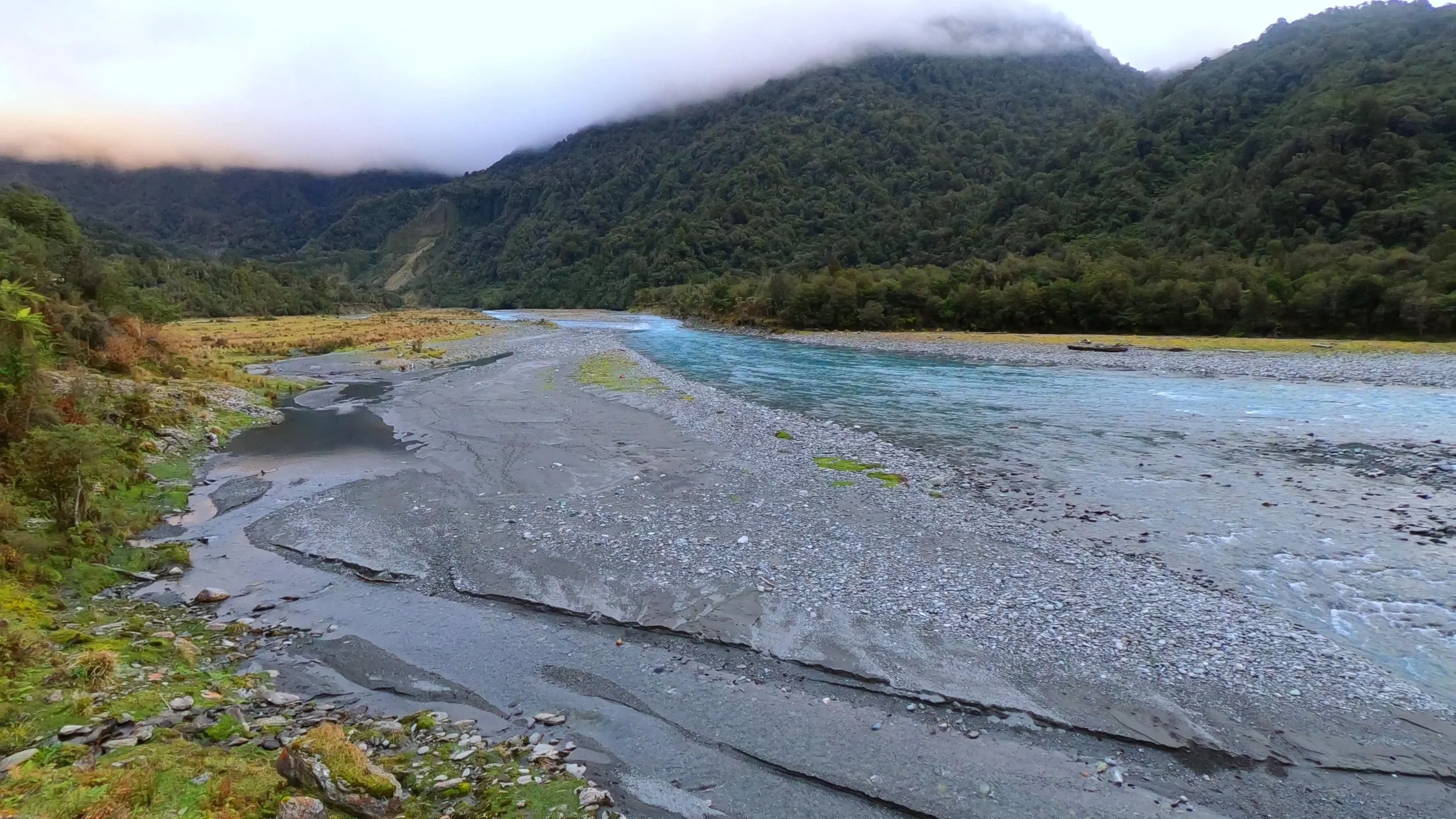
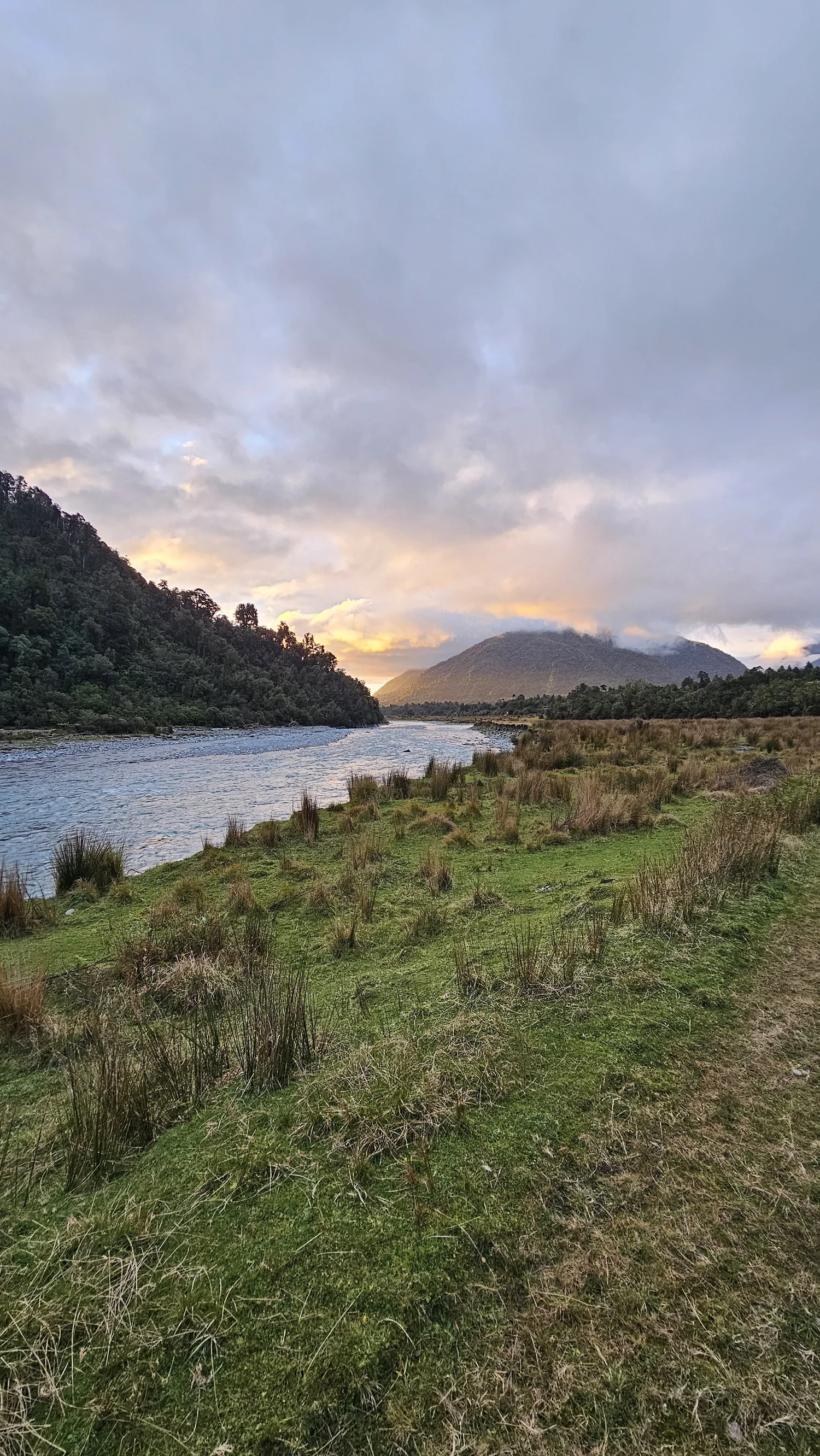
What we had not appreciated was how beautiful the walk itself would be. The Arahura River keeps appearing beside the track, backed by thick West Coast forest and the mountains farther up the valley.
Current regional visitor information describes this as a moderate walk with stream crossings and boulder hopping. It is a very different experience from the polished boardwalks at Hokitika Gorge.
For us, that difference was exactly the point. We had to walk just over an hour before the bridge finally appeared.
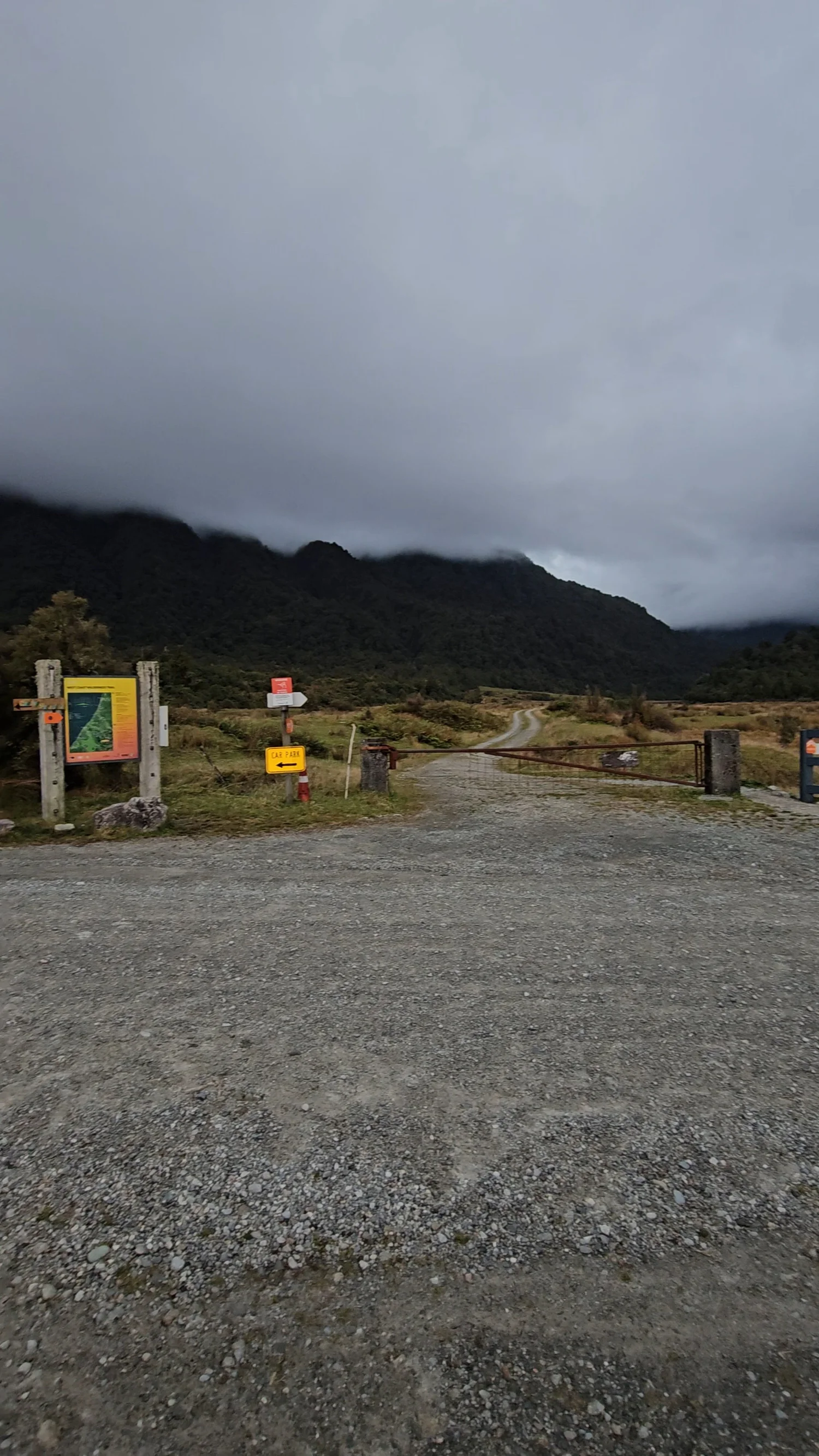
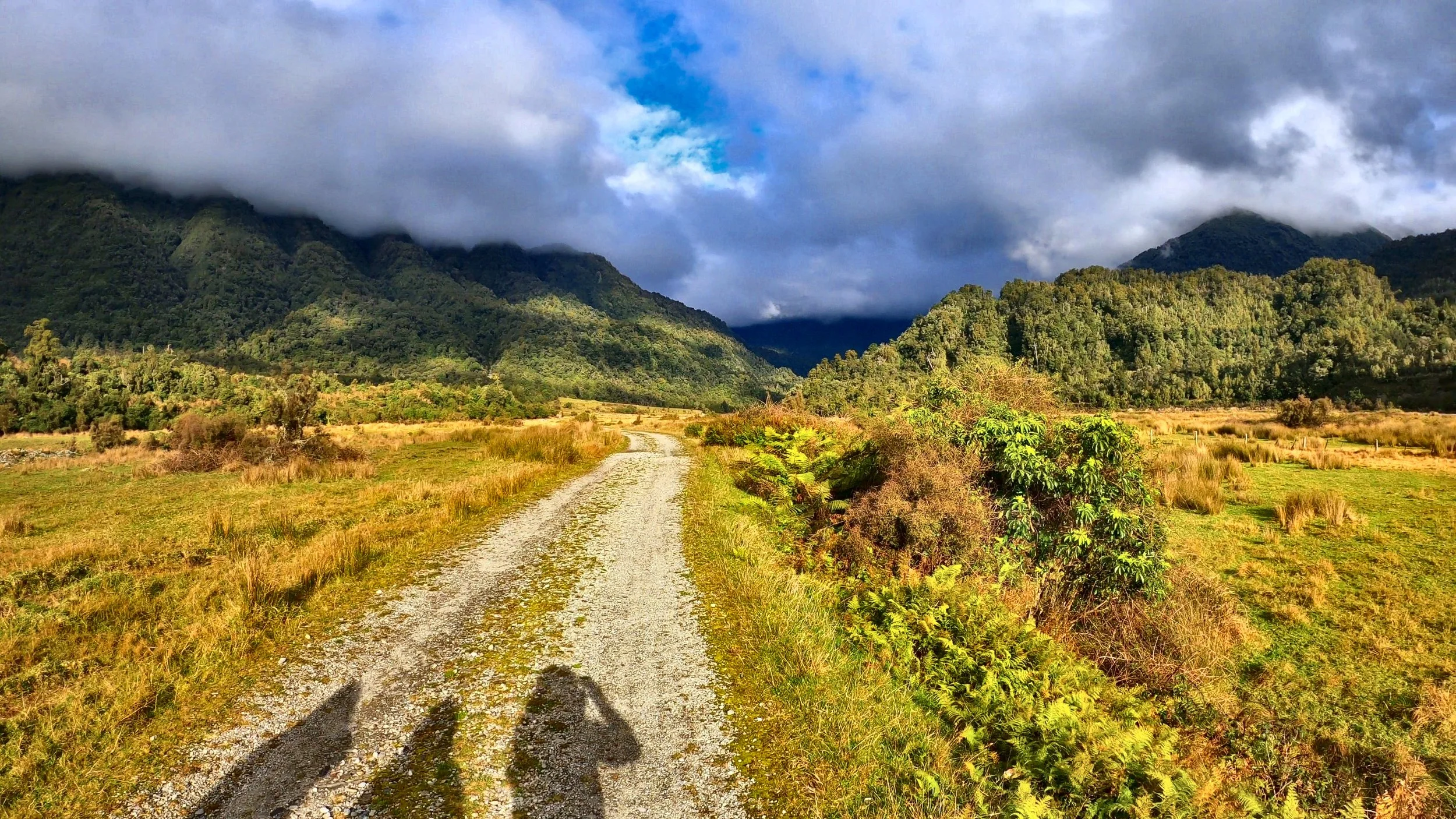
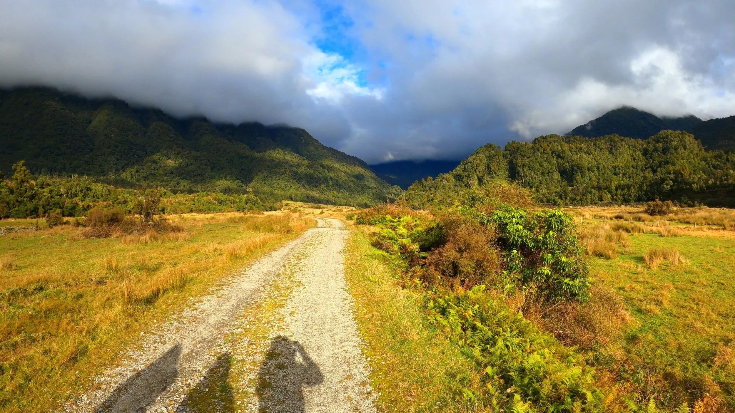
Look for the information board, gate and road heading into the valley.
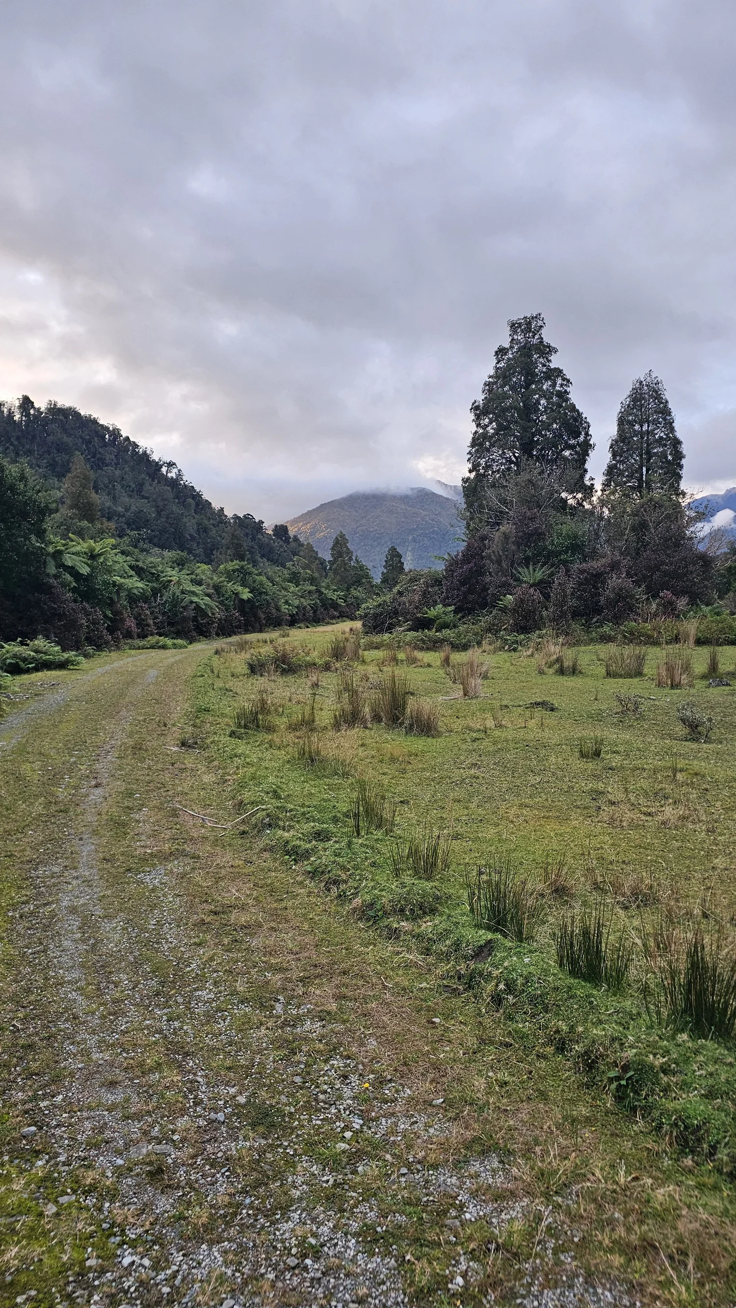
This is the Arahura road-end area where we started our walk to Cesspool Gorge and the swing bridge.
It does not immediately look like the beginning of a traditional forest track. You arrive at an open valley entrance with the information board, gate and a gravel route continuing ahead.
From here, the walk heads farther into the Arahura Valley before the route gradually changes character and the river, bush and rougher track sections become a much bigger part of the walk.
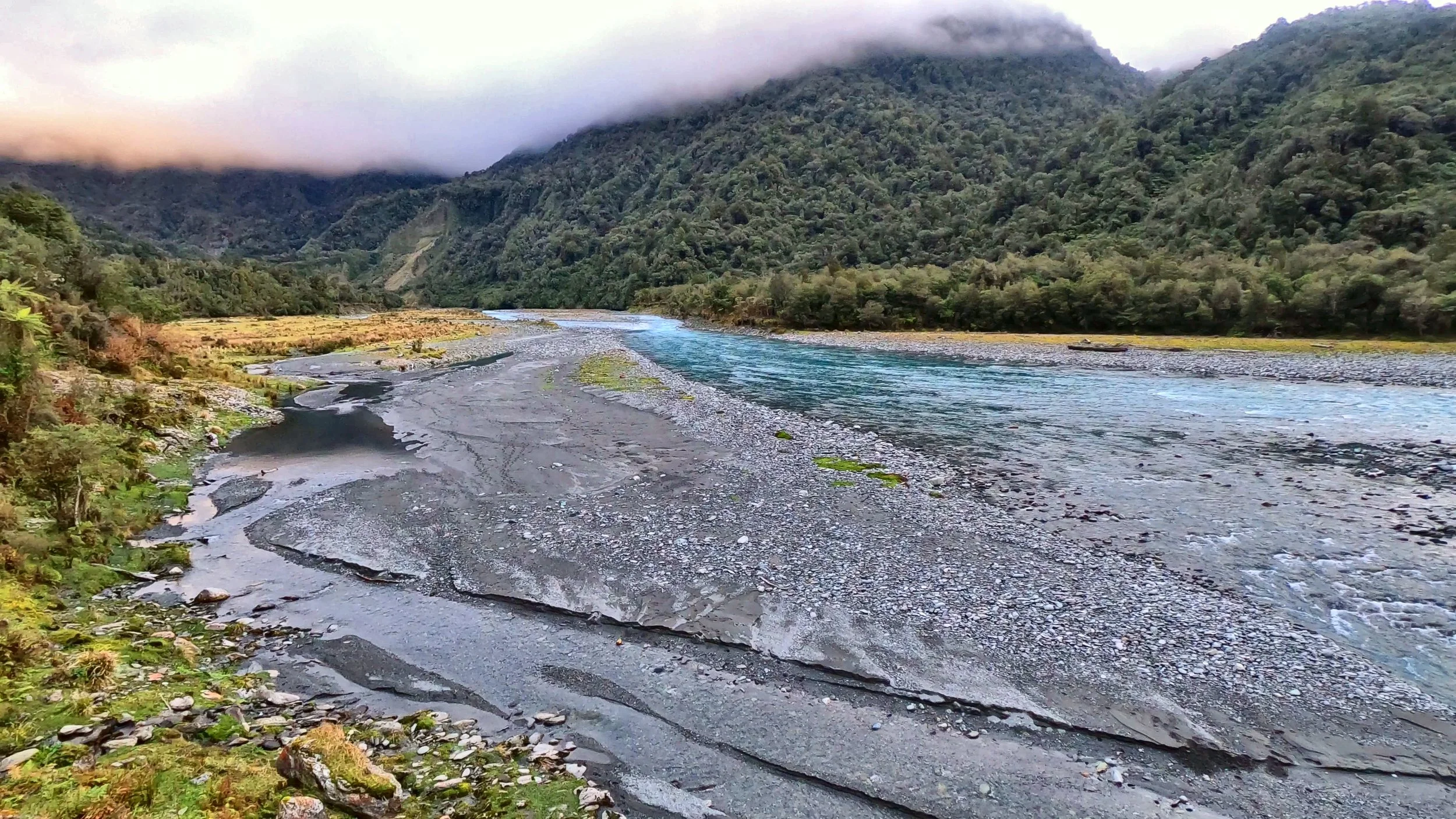
This is not just a walk to a bridge.
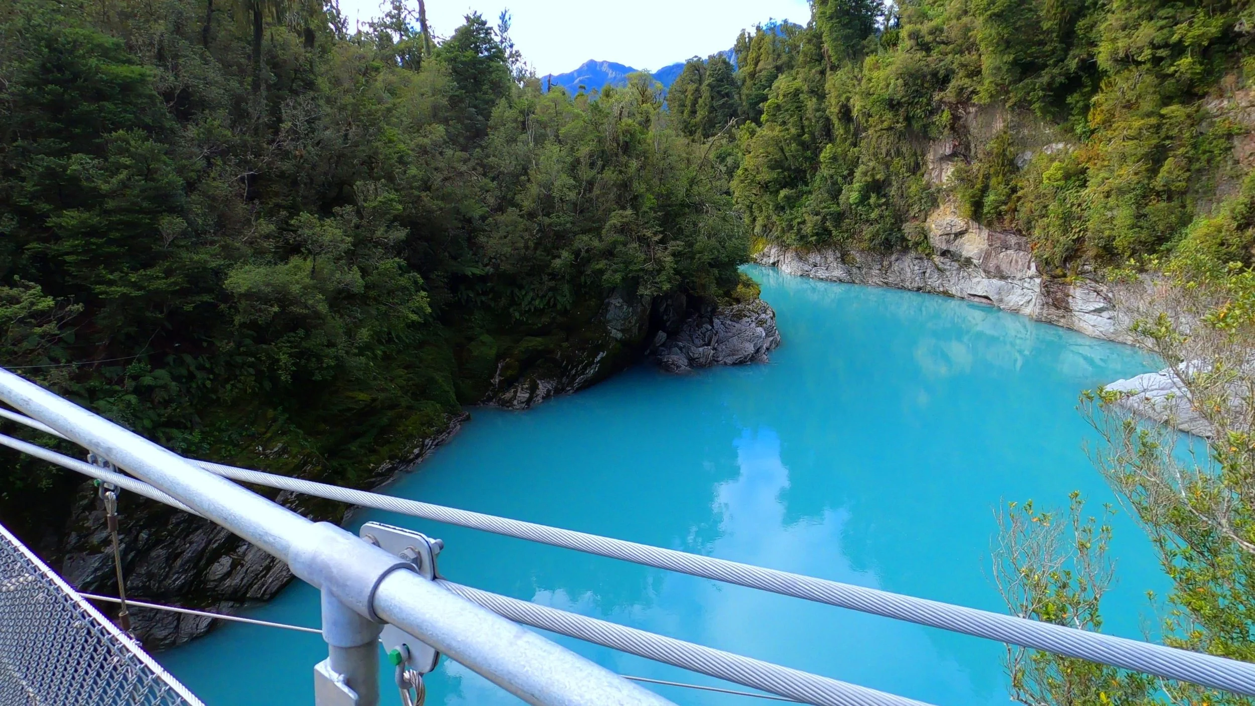
Much of the route follows the Arahura, with clear blue water, river stones, forest and mountain views changing around you as you walk.
Arahura River Cesspools Walk
The current regional visitor listing provides the clearest short-walk information for the Cesspool Gorge outing.
Current West Coast NZ visitor information.
Allow more if you stop at the river and bridge.
Regional visitor classification.
Stream crossings and boulder hopping are part of the route.
Blue water surrounded by rock and West Coast forest.
The swing bridge crosses the Arahura at The Cesspool.
Our family walking time to reach the bridge.
DOC warns coverage in the wider valley is often poor.
Expect a walk, not a groomed attraction.
This is one of the things that separates Cesspool Gorge from nearby Hokitika Gorge.
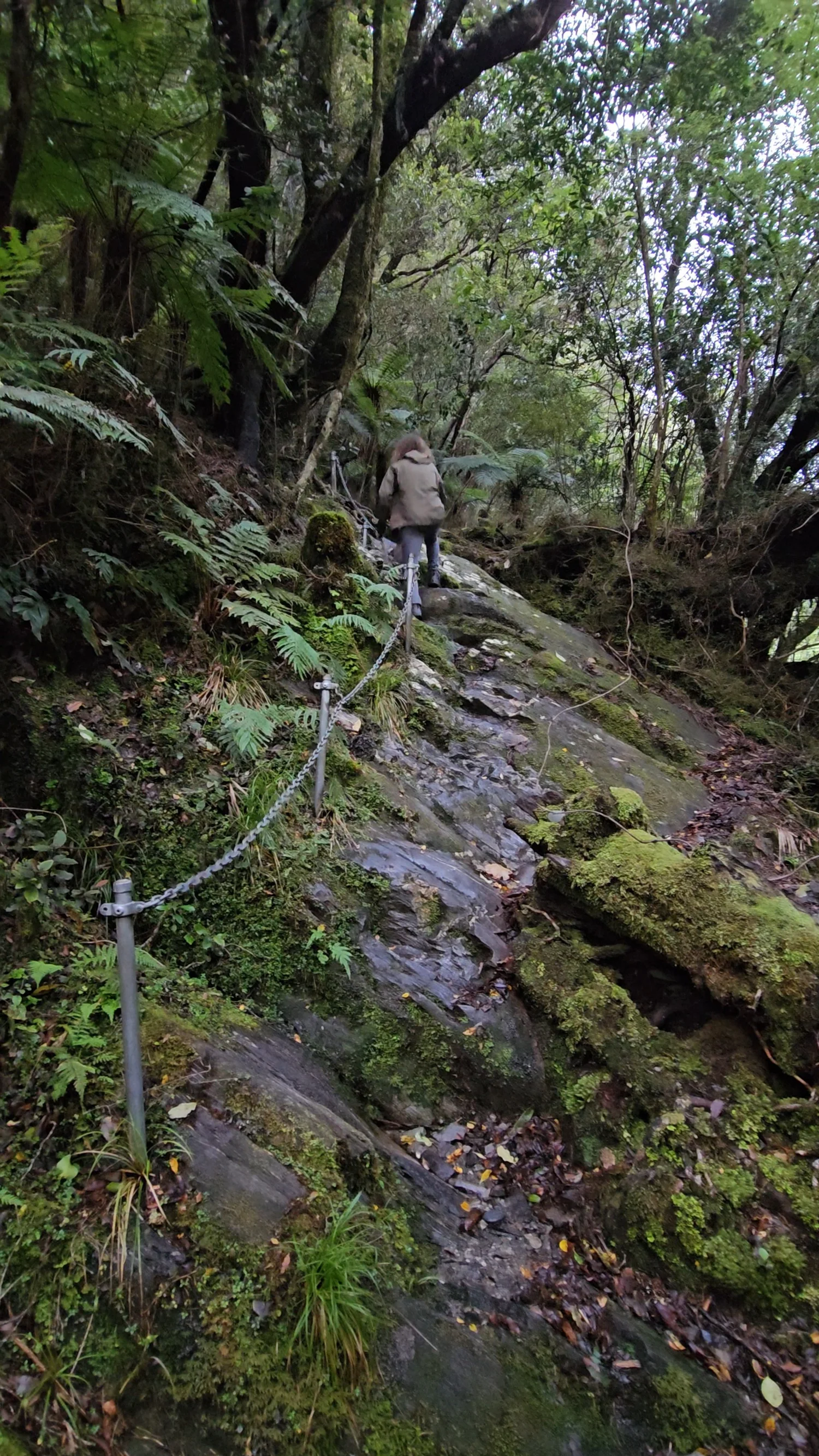
The route heads through thick bush alongside the Arahura Valley.
Current regional track information specifically lists stream crossings.
Expect rougher sections around water rather than a smooth formed pathway throughout.
The Arahura keeps appearing beside the route before the gorge becomes the payoff.
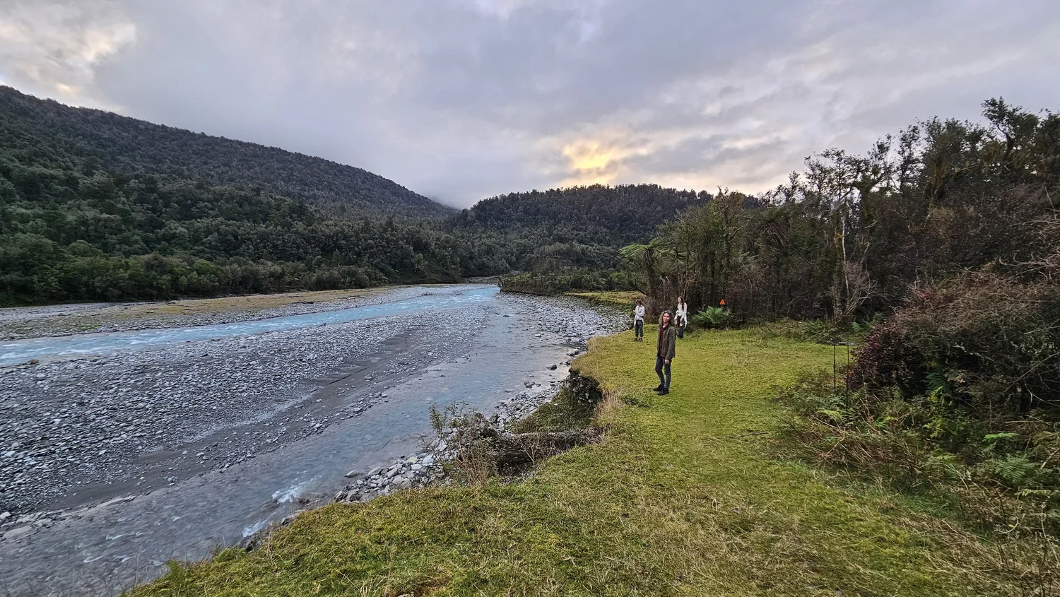
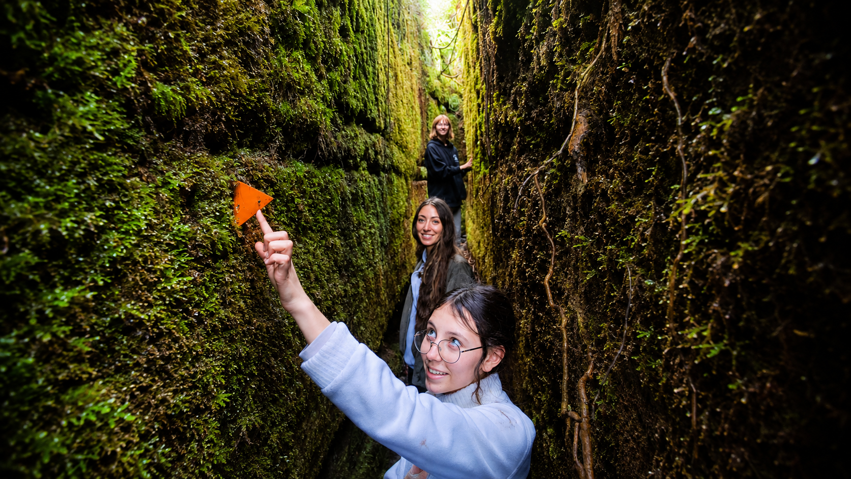
We actually had to watch for the track markers here.
This photo captures two things we remember really well: the river beside us and one of those bright orange markers.
Some stretches were obvious, but this was not one of those walks where we could completely switch off and assume every metre of trail would be obvious.
The orange triangles were easy to spot once we were looking for them, and they helped keep us pointed the right way as the track moved through the valley.
This valley has deep significance to Poutini Ngāi Tahu.
The Arahura Valley is traditionally one of the principal sources of pounamu for Ngāi Tahu.
Te Rūnanga o Ngāi Tahu describes the valley as being of particular significance to Poutini Ngāi Tahu, the tangata whenua of the West Coast.
The history of this valley extends far beyond the later tracks, goldfields and European exploration routes.
THEN THE
BRIDGE
APPEARS.
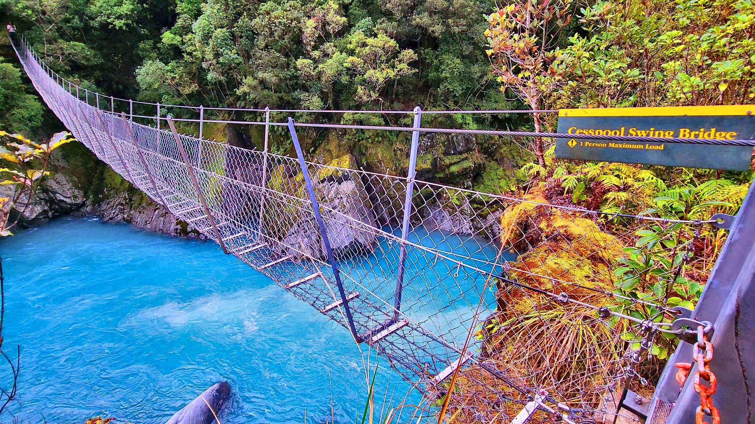
After more than an hour of walking, this was the view we had been waiting for.
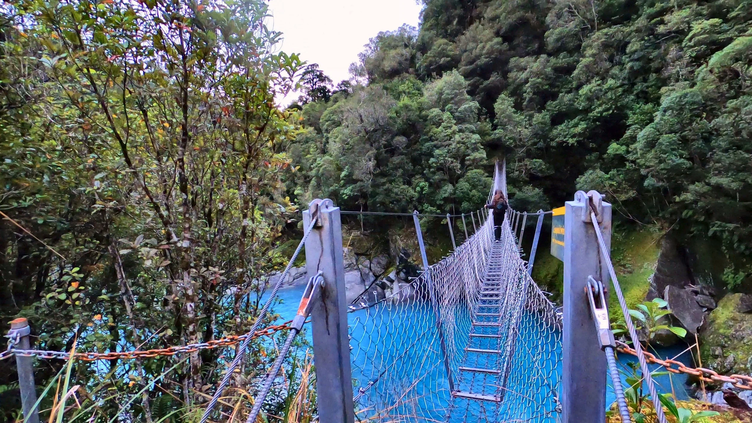
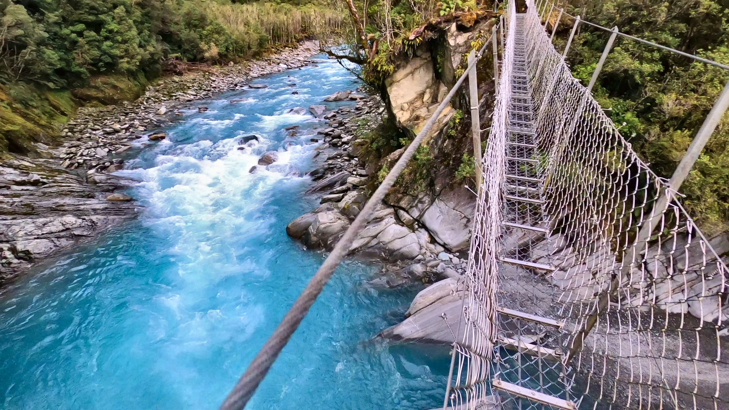
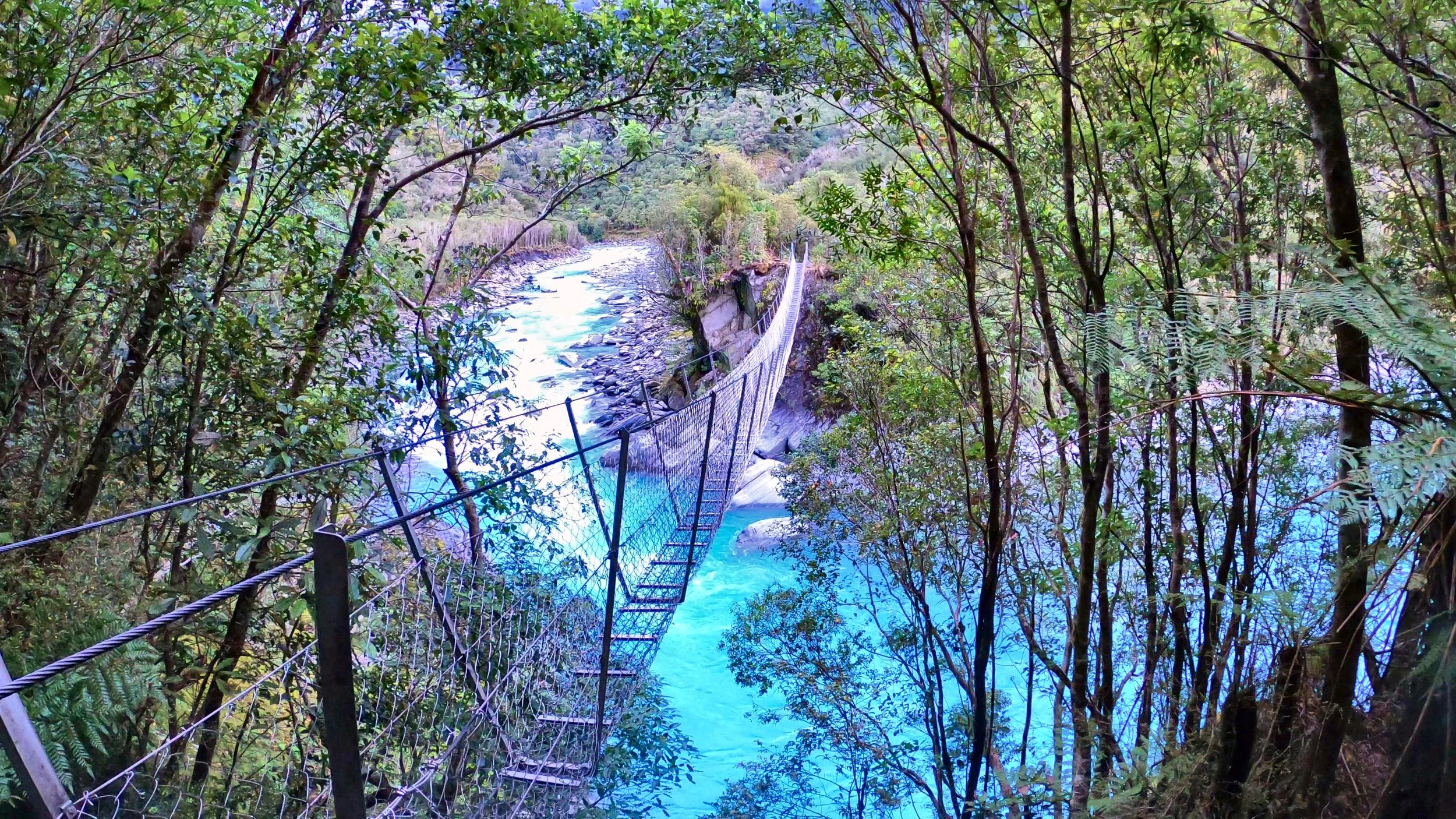
A narrow wire bridge stretched over the Arahura, with the gorge and blue water underneath and almost nothing blocking the view through your feet.
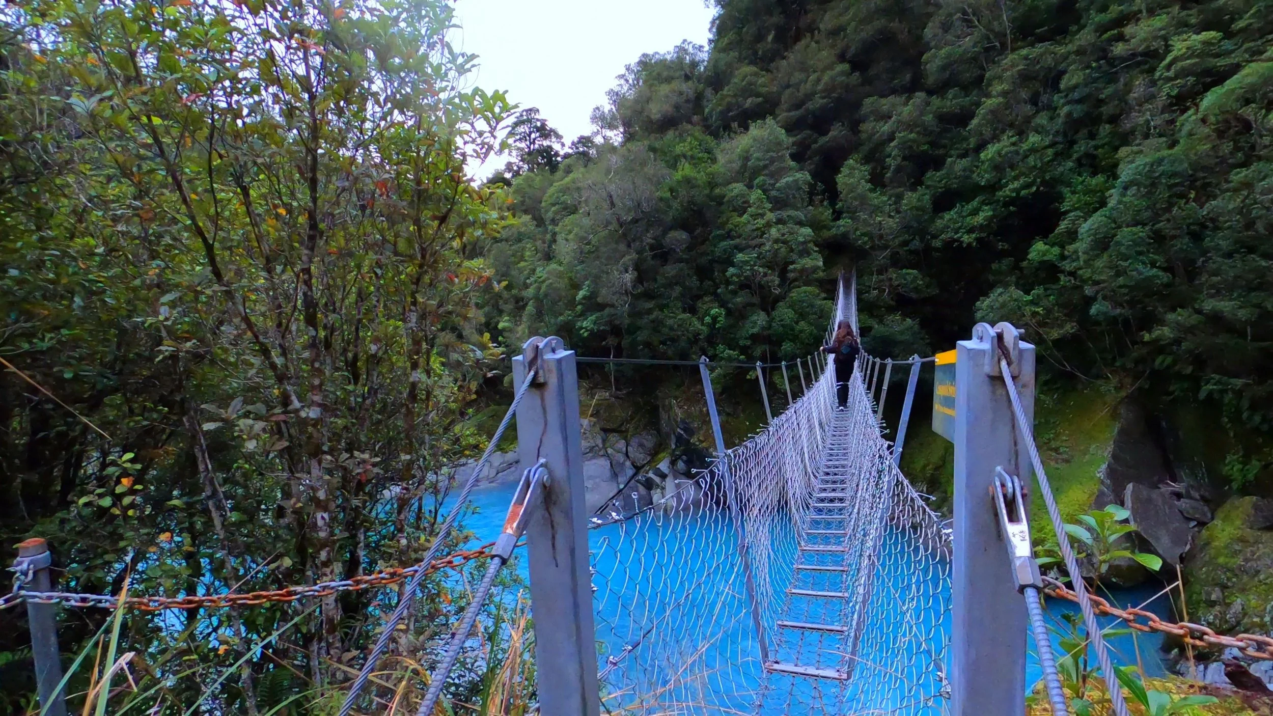
This bridge does not hide what is underneath you.
The bridge is narrow, open and flexible enough that you are very aware you are hanging over the river.
Unlike a modern wide suspension bridge with a solid timber deck, this one feels much more exposed. You can see through the walkway and watch the river moving below.
That is exactly why we wanted to come here.
We crossed individually and treated the posted restriction seriously.
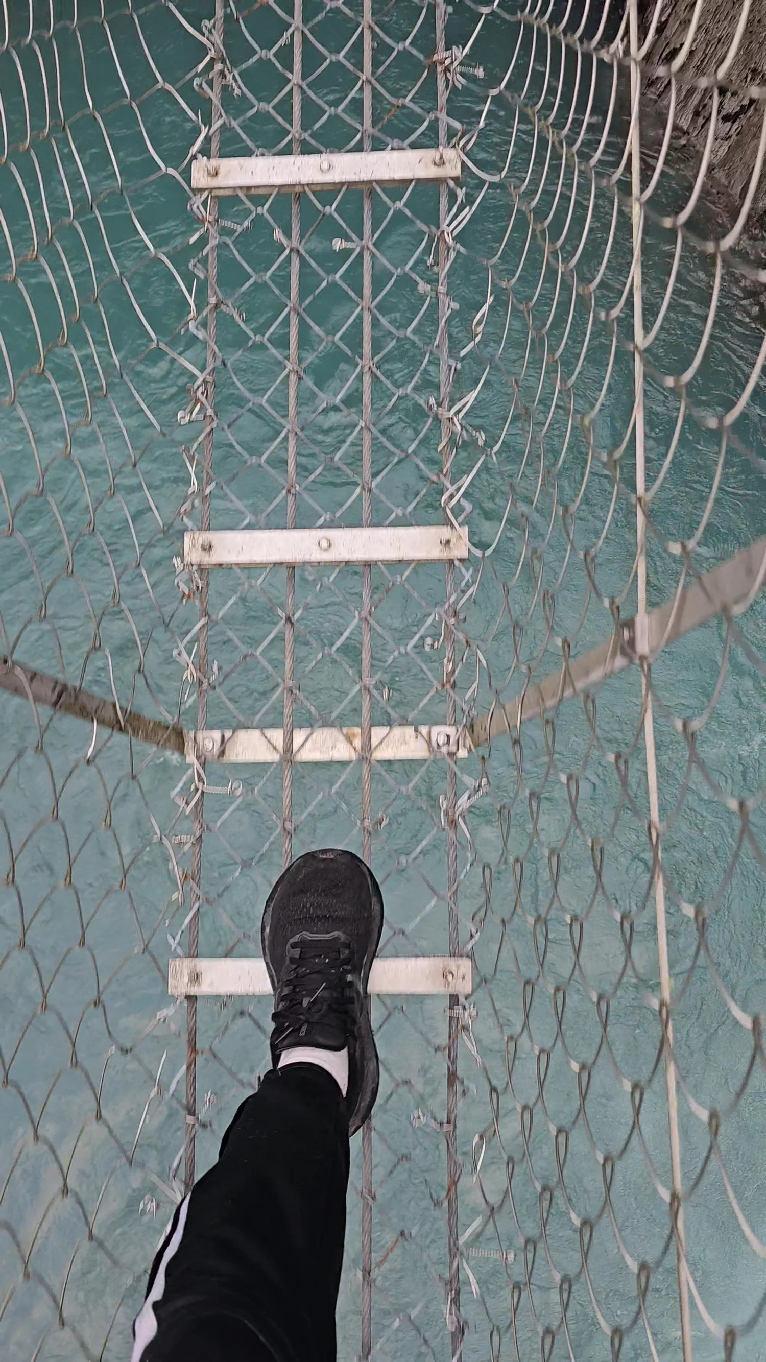
This is what we mean by see-through.
Looking at the bridge from the side does not fully prepare you for what it feels like once you step onto it.
The open wire walkway gives you a clear view straight through to the gorge below. There is no wide solid deck visually separating you from the river.
That made the crossing feel much more exposed than the larger modern suspension bridges we had crossed elsewhere on the West Coast.
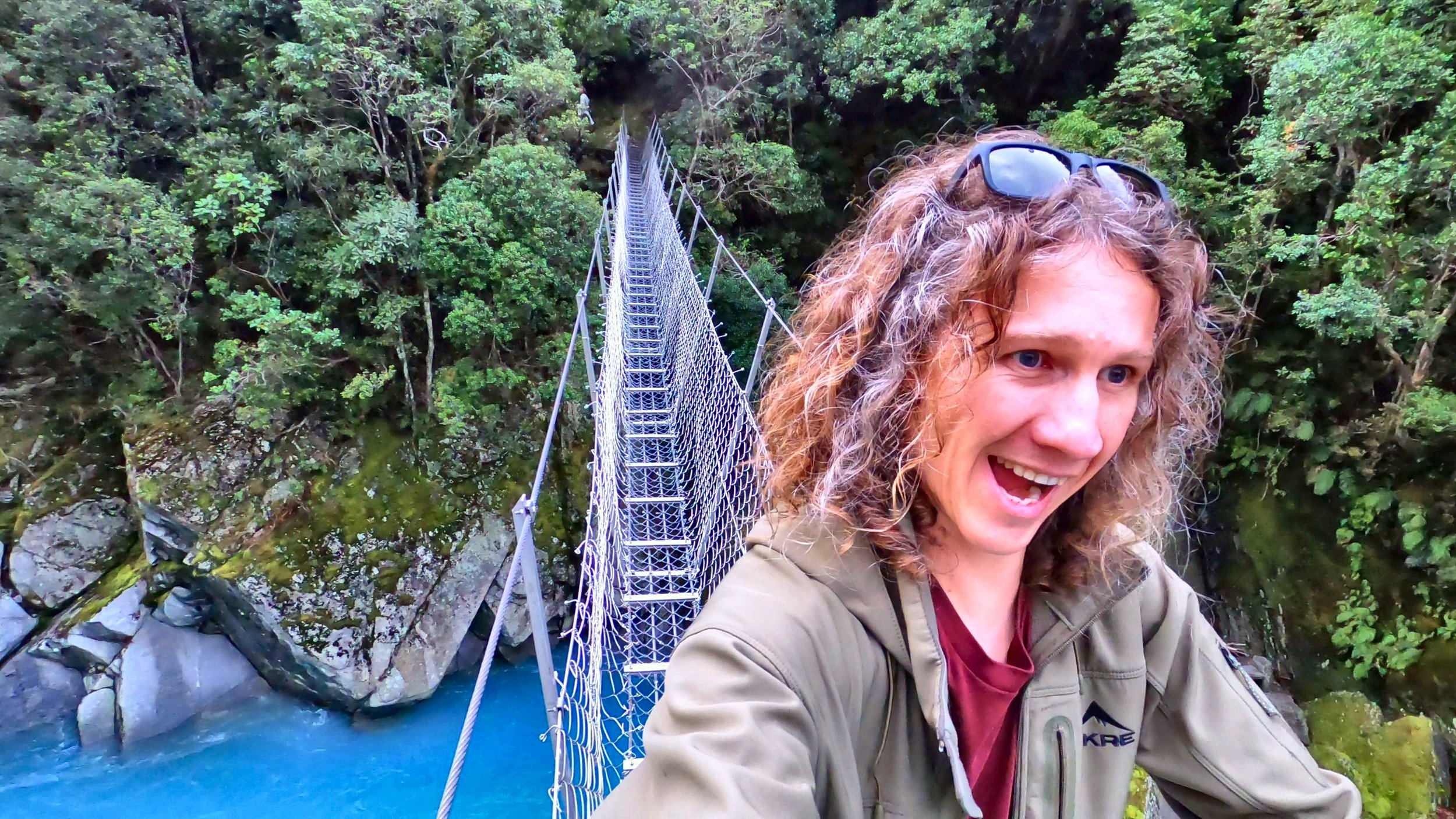
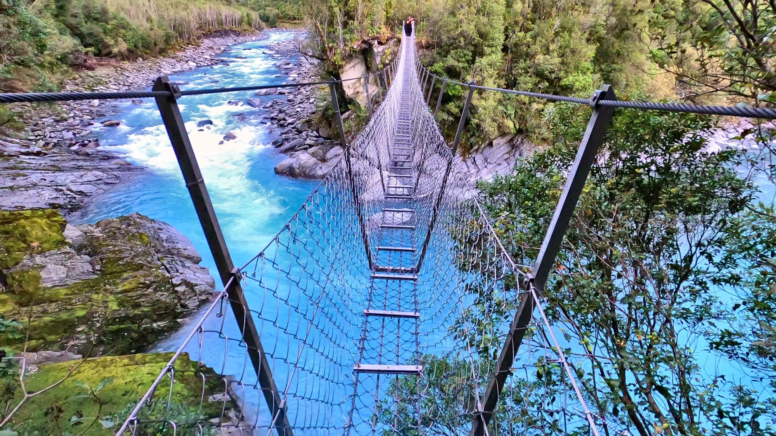
The bridge is wild. Getting there is part of earning it.
This was not a five-minute roadside bridge stop.
Our family walked for just over an hour before reaching the crossing, which made finally seeing it feel much more rewarding.
The current regional classification is moderate, and the stream crossings and rougher terrain make that feel more appropriate than calling it an easy family stroll.
Our teenagers handled the walk well and the bridge immediately became one of those things everyone wanted to try. That is our family experience, not an official suitability rating.
This one deserves a little more preparation than the average short walk.
Current access and route information was rechecked on 7 September 2026.
Current West Coast NZ visitor listing.
More if you plan to spend time around the gorge and bridge.
Includes stream crossings and boulder hopping.
DOC directs walkers via the Milltown turnoff near Lake Kaniere.
DOC says the route initially crosses private land and the landowner allows foot access along the farm track to Cesspool Bridge.
Stay on the access route and do not disturb livestock.
DOC says mobile coverage should not be relied on in the wider valley.
Stream crossings can change quickly. Do not cross flooded water or anything you are unsure about.
The Arahura Track continues much farther into serious backcountry terrain. This guide covers the return walk to The Cesspool only.
West Coast NZ describes stream crossings and boulder hopping on the Cesspools Walk. DOC's wider Arahura route guidance warns that river and side-stream conditions can change, particularly after rainfall. If a crossing looks unsafe, turn around.
Cesspool Gorge Walk FAQ
How long is the Cesspool Gorge Walk?
How difficult is the Arahura River Cesspools Walk?
Where is Cesspool Gorge?
Is the Cesspool Swing Bridge really one person at a time?
What is the Cesspool Swing Bridge like?
Does the track cross private land?
Are there stream crossings?
Is Cesspool Gorge good for families?
Can I continue beyond Cesspool Bridge?
Why is the Arahura River important?
Current short-walk distance, time, moderate grading, stream crossings, boulder hopping and visitor description were checked with West Coast NZ. DOC was used for current Arahura access, private-land access, the location of the swing bridge at The Cesspool, wider backcountry conditions and mobile-coverage guidance. Arahura cultural context was checked with Te Rūnanga o Ngāi Tahu. Our walking time, track-marker observations, bridge reactions and comments about how the walk felt are from our own visit.
This was exactly our kind of place.
A quieter valley, a proper forest track, blue river water and one bridge strange enough that we were willing to hike more than an hour just to stand on it.
The bridge might be what gets your attention, but the Arahura River and the walk into the valley are what make this feel like a real West Coast adventure.