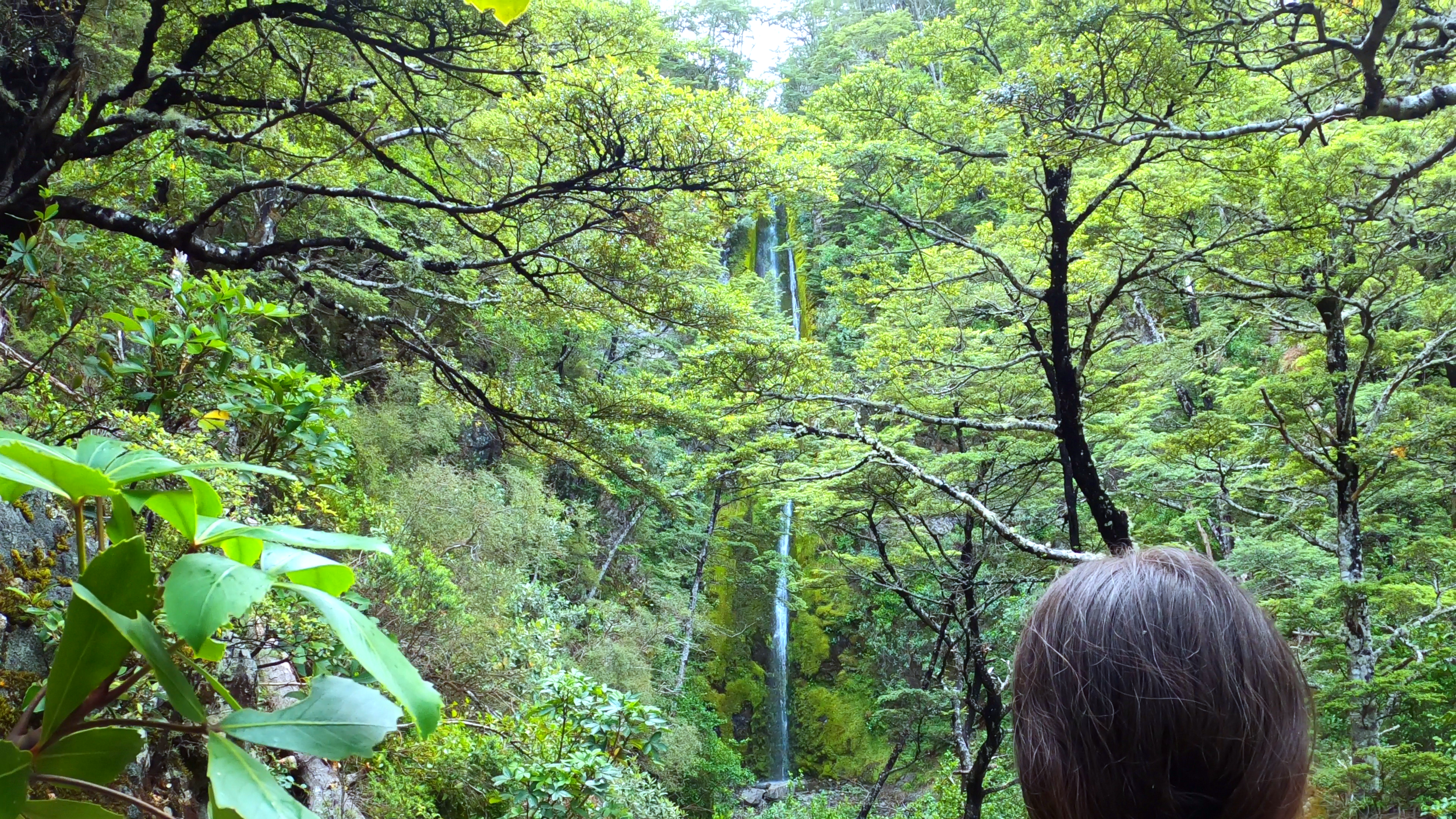

Dog Stream Falls The waterfall was beautiful. Getting there was all uphill.
We headed into Hanmer Forest Park for what looked like a straightforward waterfall walk. Instead, we got switchbacks, stairs, stream crossings, birdsong and one long climb through the forest.
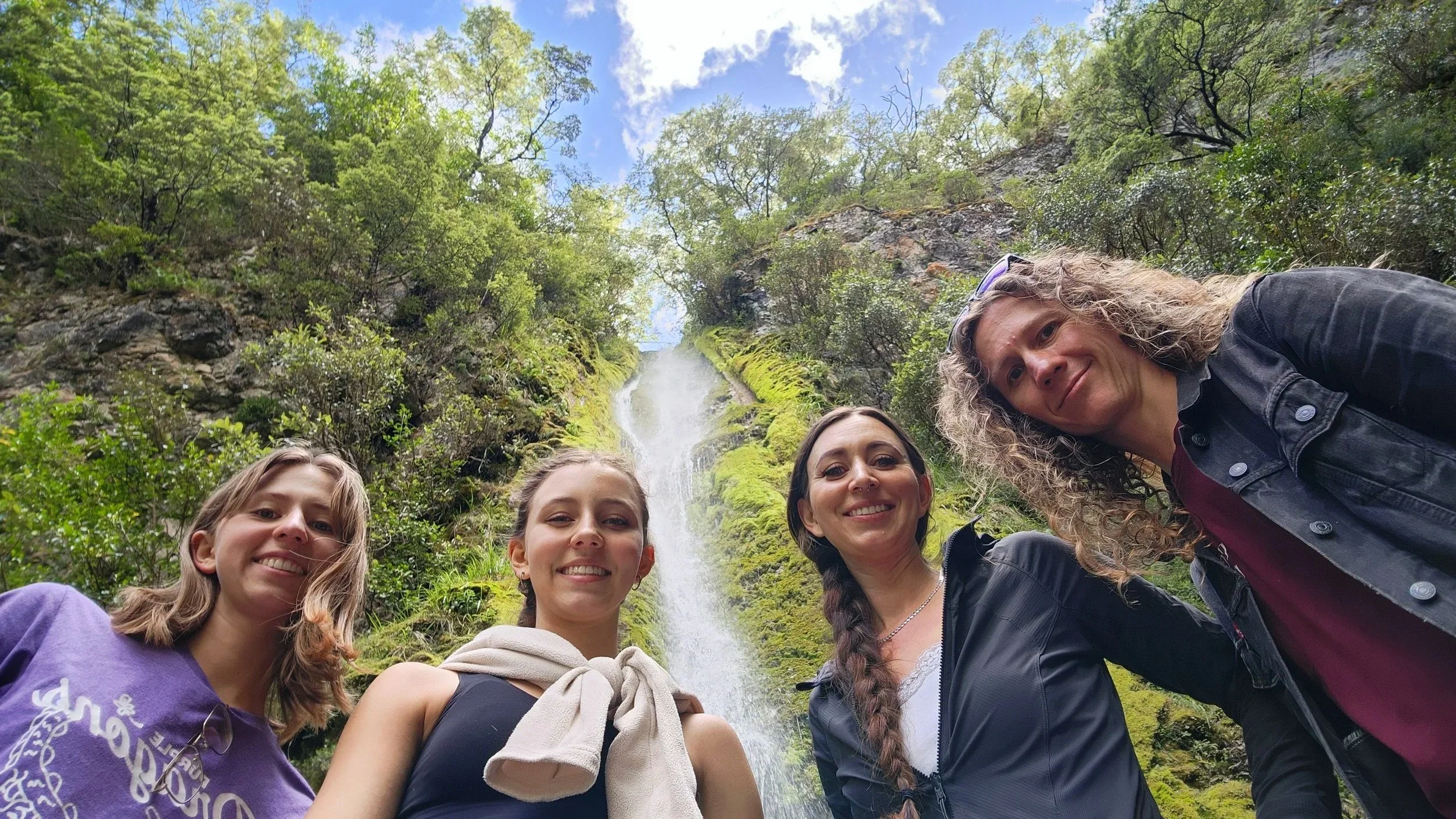
It looked like a little waterfall walk.
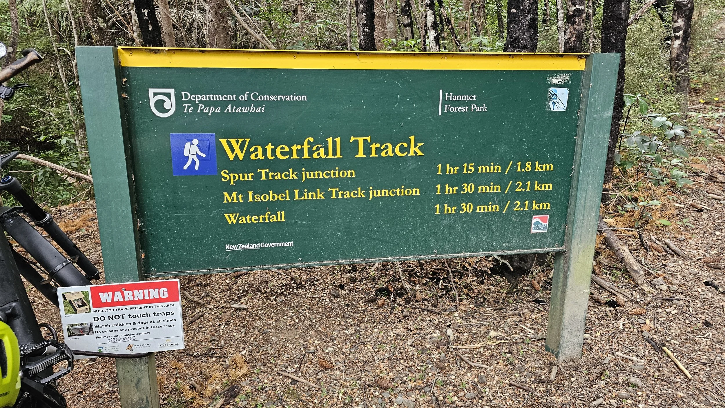
The sign said waterfall. The distance did not look intimidating. What the sign did not really prepare us for was how much of the walk was going to be uphill.
Dog Stream Falls.
Near Hanmer Springs in North Canterbury.
Official height published by DOC.
A steady forest climb toward Dog Stream Falls.
Mosses, ferns, lichens and native orchids also feature along the route.
Approximate distance to the Spur Track junction.
DOC's approximate time from the Spur Track junction to the falls.
Our devices recorded just under or just over 5 km.
Our group's recorded elevation gain.
The forever uphill.
Come through the forest with us, climb the switchbacks, cross the streams and finally reach Dog Stream Falls.
 ▶
▶
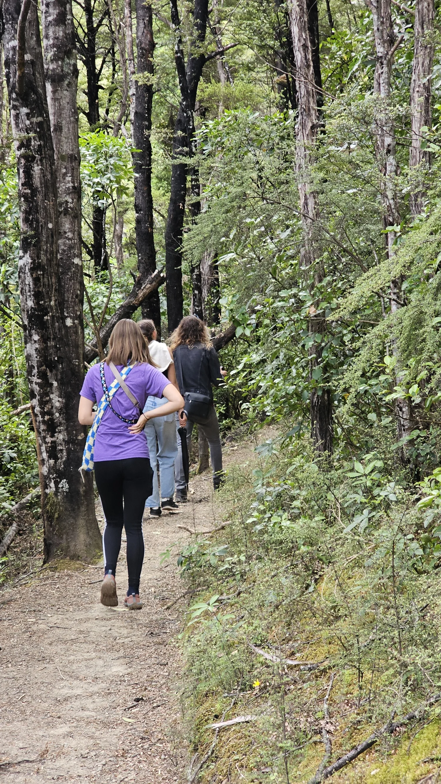
The climb starts almost immediately.
And it does not really stop.
DOC describes this as a steady climb from the car park at the end of Mullans Road, heading through mountain beech forest toward Dog Stream Falls.
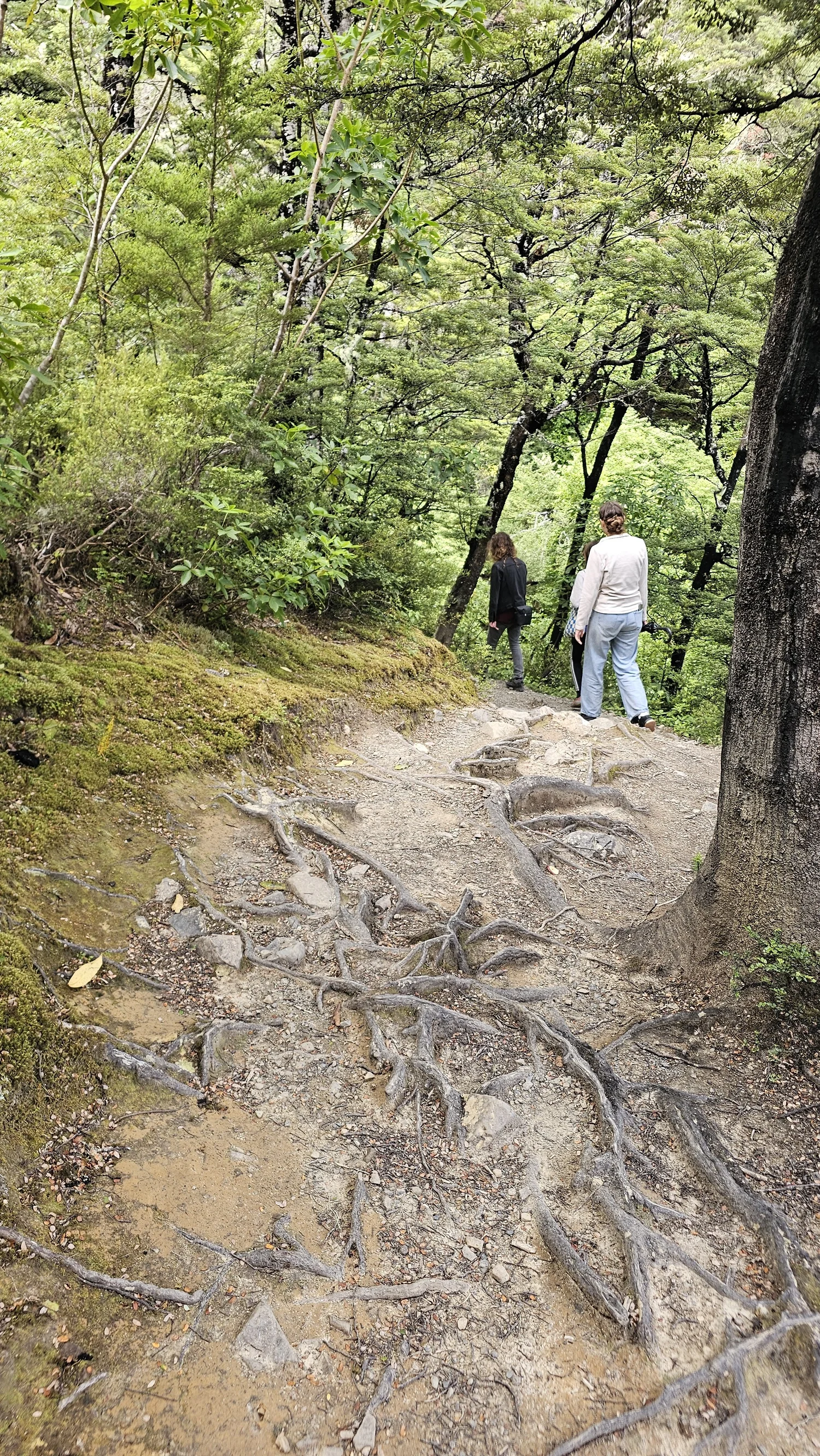
That matched our experience. The early trail feels friendly enough, but before long you are climbing switchbacks, stairs and long stretches of uphill forest track.
The forest changed the whole feel of the walk.
The track winds through mountain beech, with moss, ferns, lichens and smaller streams appearing along the way. It felt much more enclosed and quiet than the open country around Hanmer Springs.
Every corner seemed to reveal another uphill section.
We kept joking about it, but the elevation was adding up.
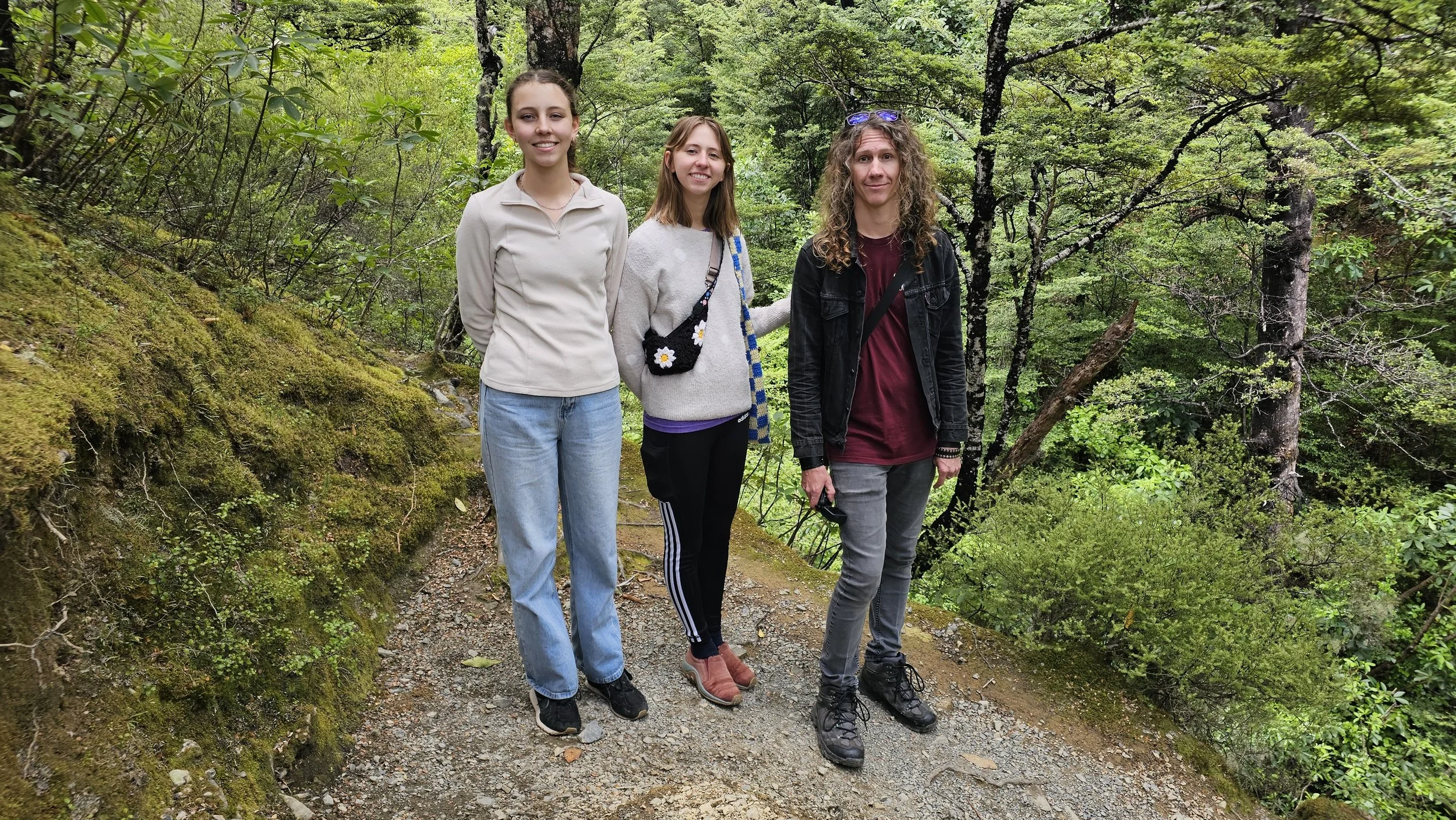
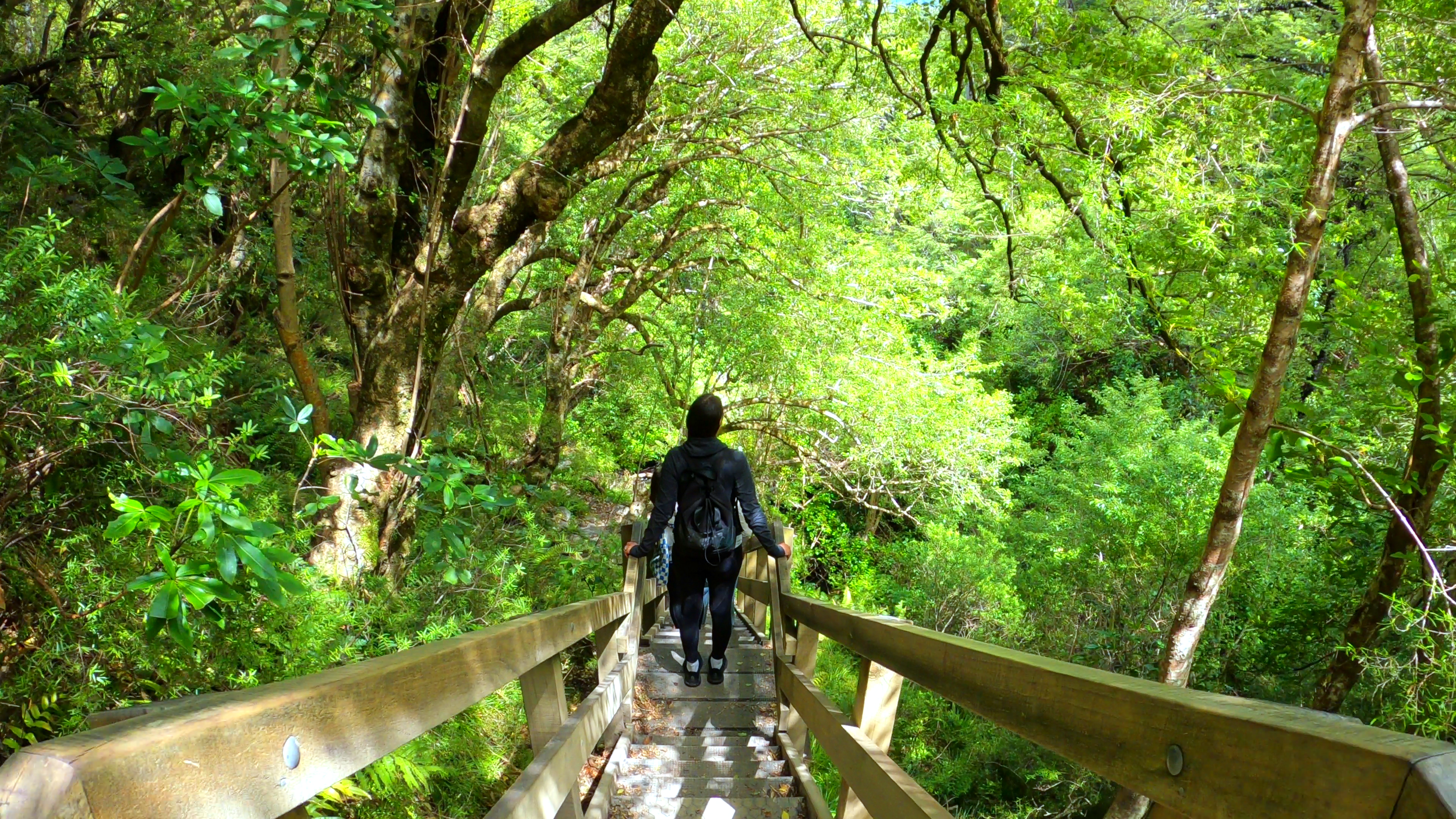
You know it is steep when the switchbacks need stairs.
By this point, “steady climb” was starting to feel very accurate.
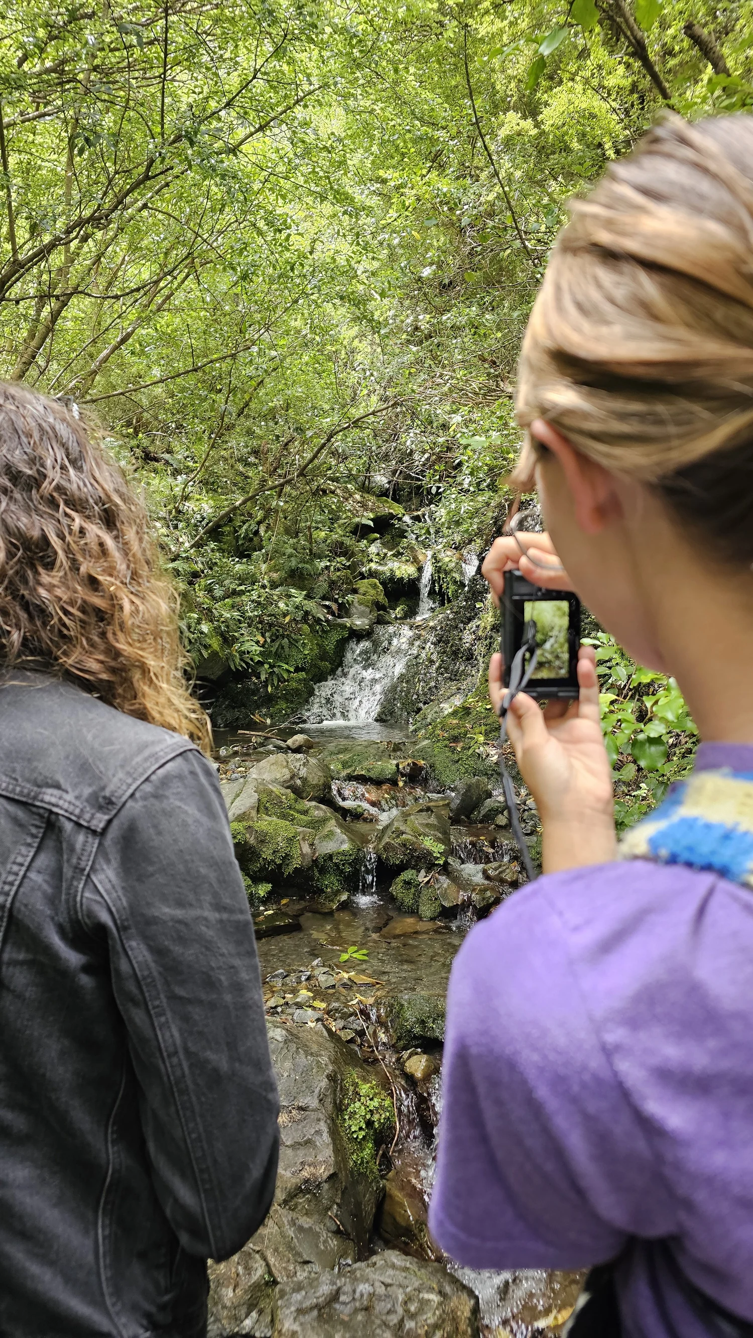
The main waterfall was not the only water worth stopping for.
Smaller cascades and stream crossings break up the climb, giving you an excuse to stop, look around and pretend you only paused for the photo.
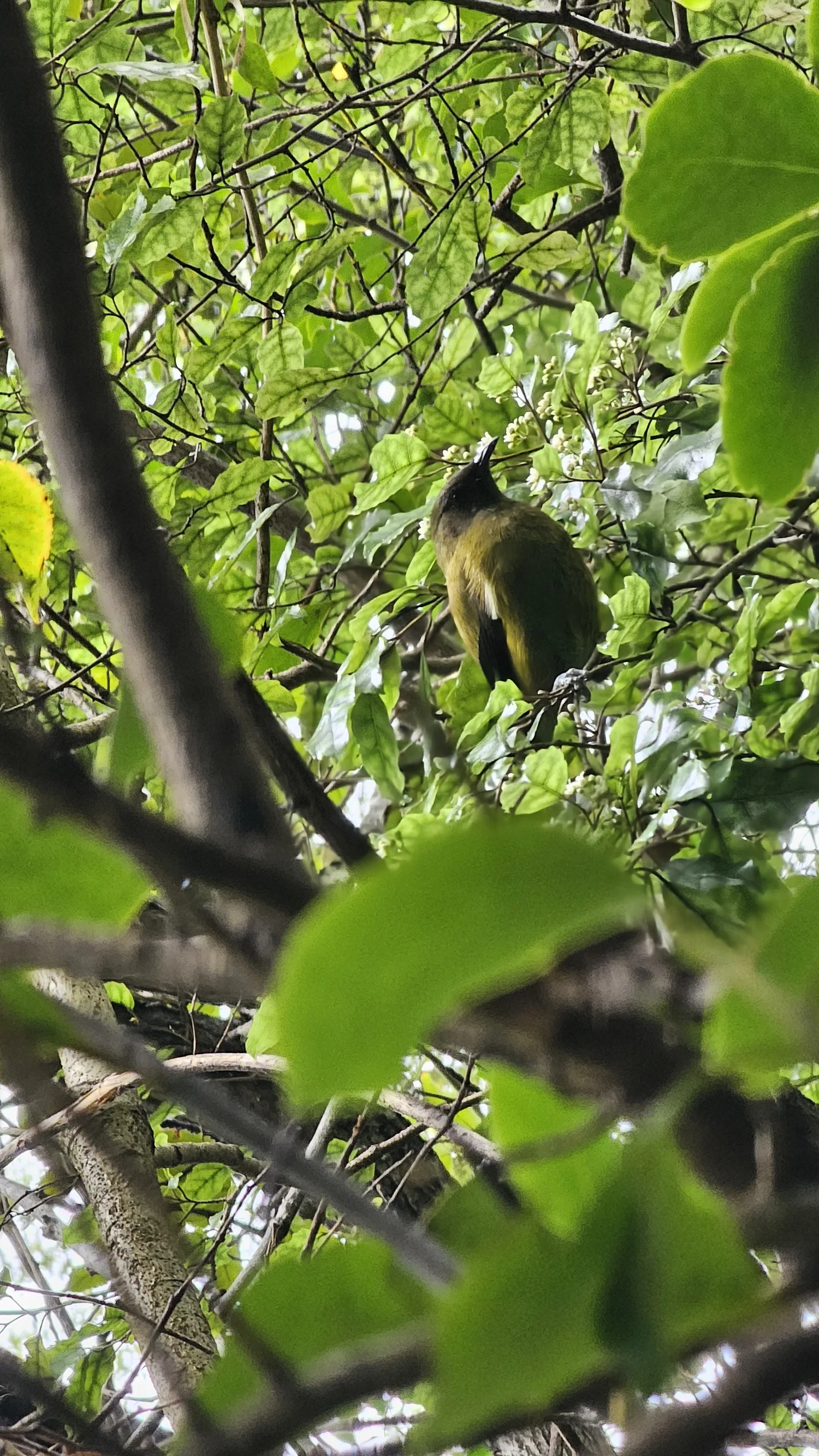
The forest was not quiet.
It was full of birdsong.
One of the birds we spotted was a New Zealand bellbird, or korimako. Hearing native birds through the forest gave the whole walk a very different atmosphere.
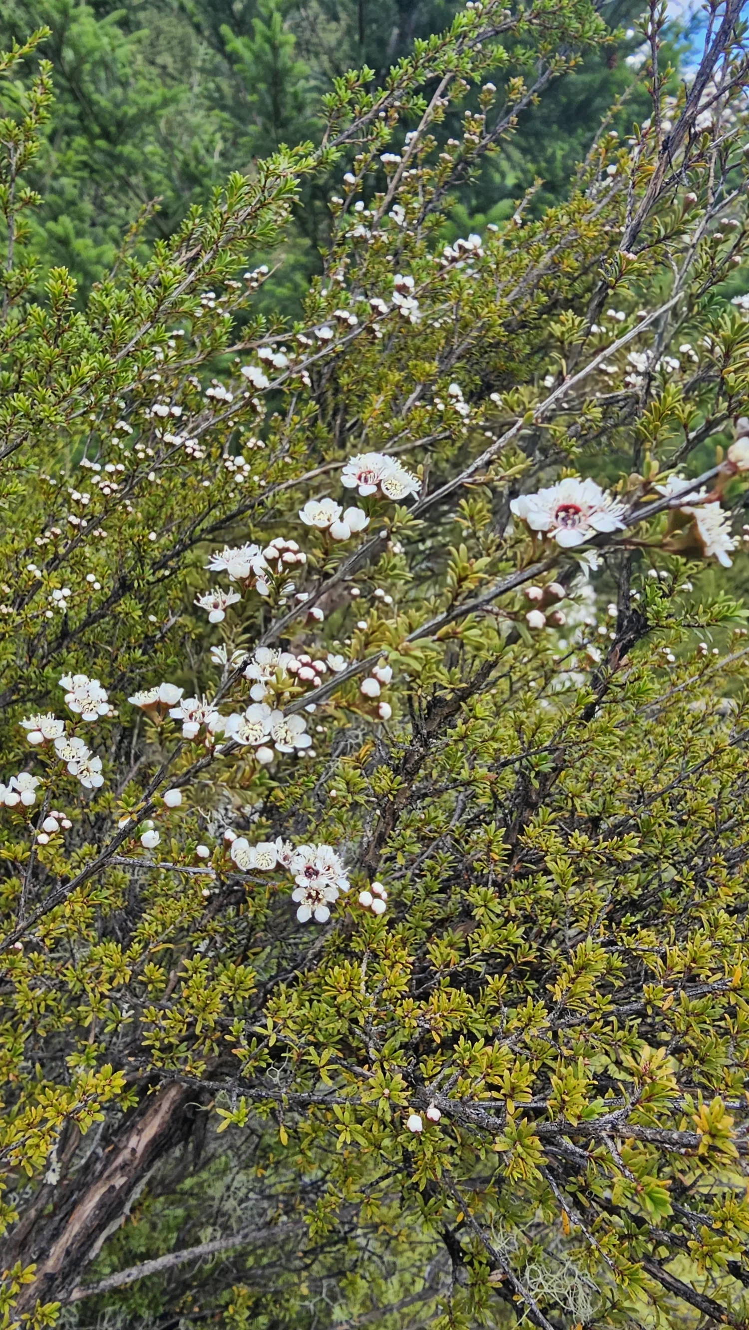
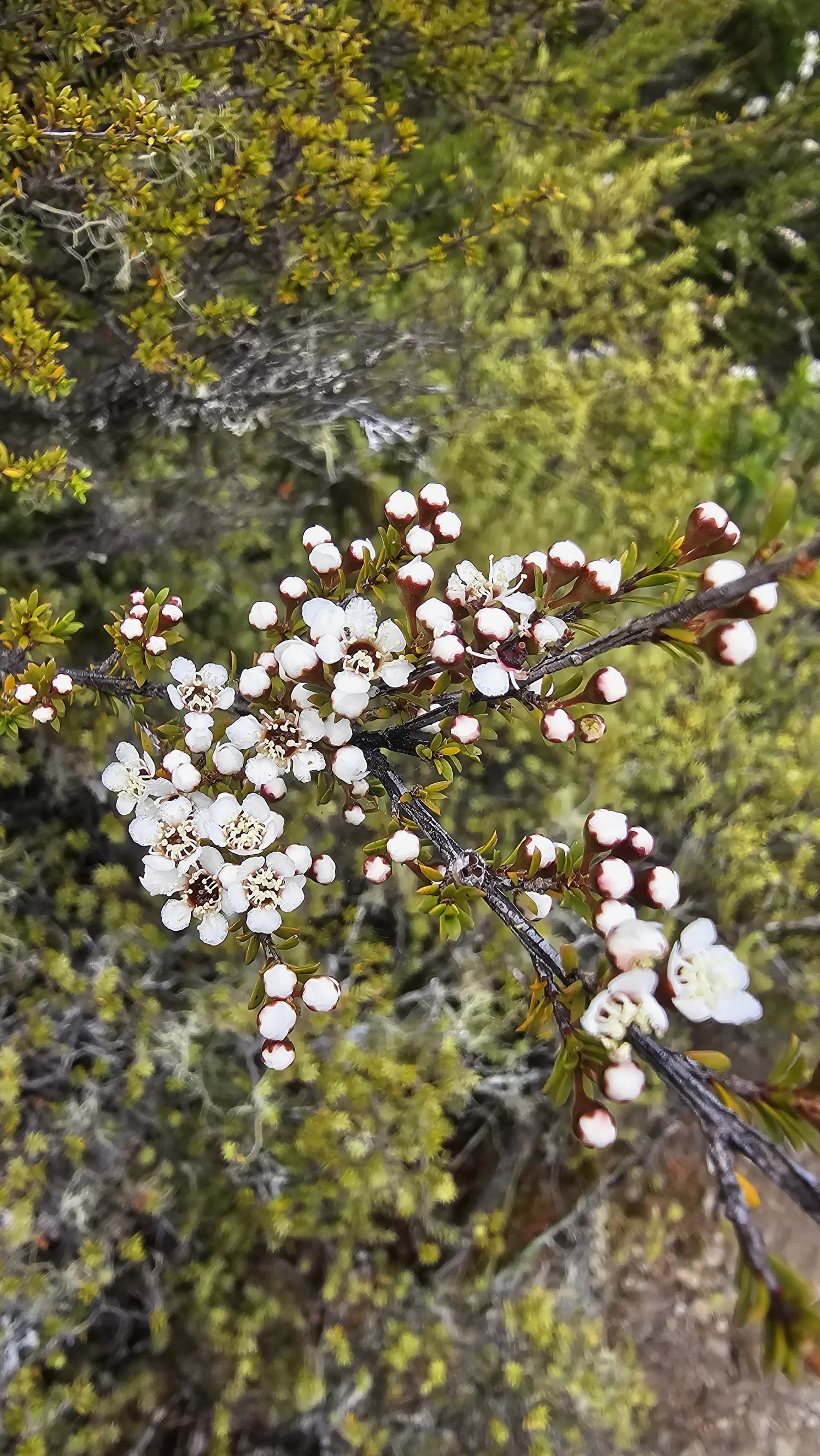
Mānuka in flower.
Small white flowers covered parts of the trackside vegetation as we headed back down.
That sign gave us hope.
Then we found more stairs.
By the time we reached the final signs, the waterfall felt close. It was close, but the track still had a few more uphill surprises waiting for us.
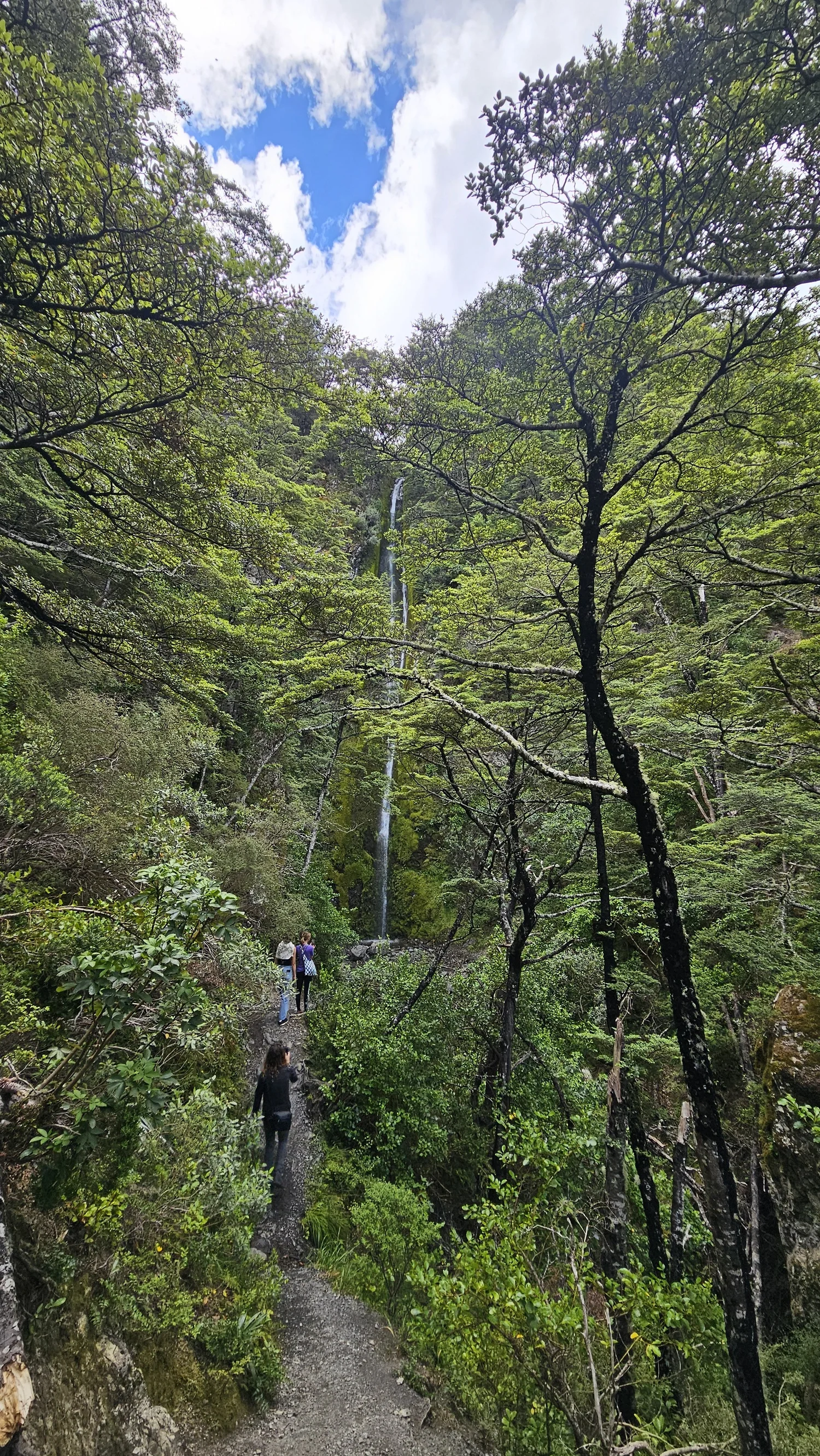
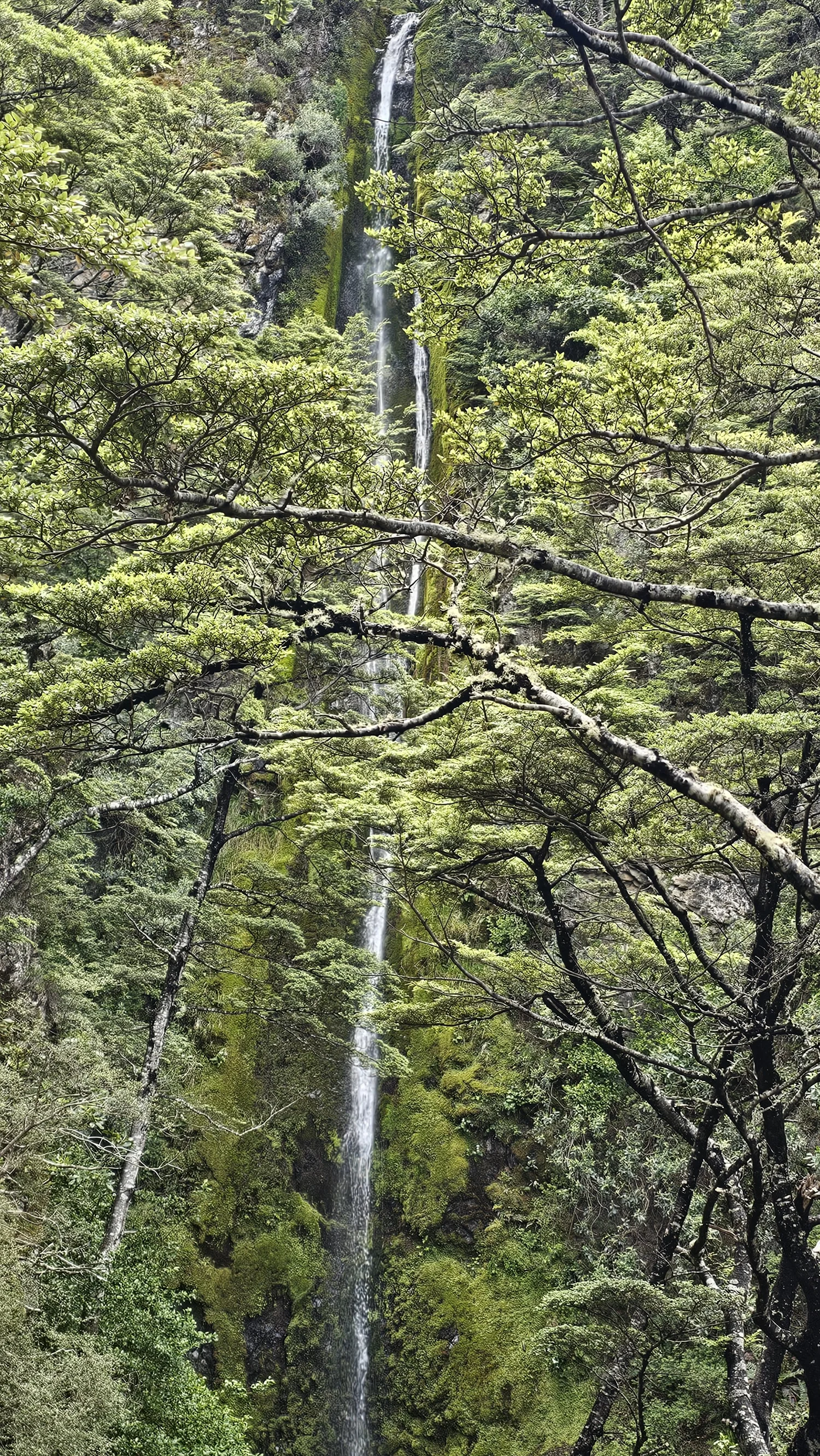
Then the forest opened and there it was.
Dog Stream Falls is taller than it looks in photos.
41 metres through the forest.
After all that climbing, standing at the bottom felt like a proper finish line.
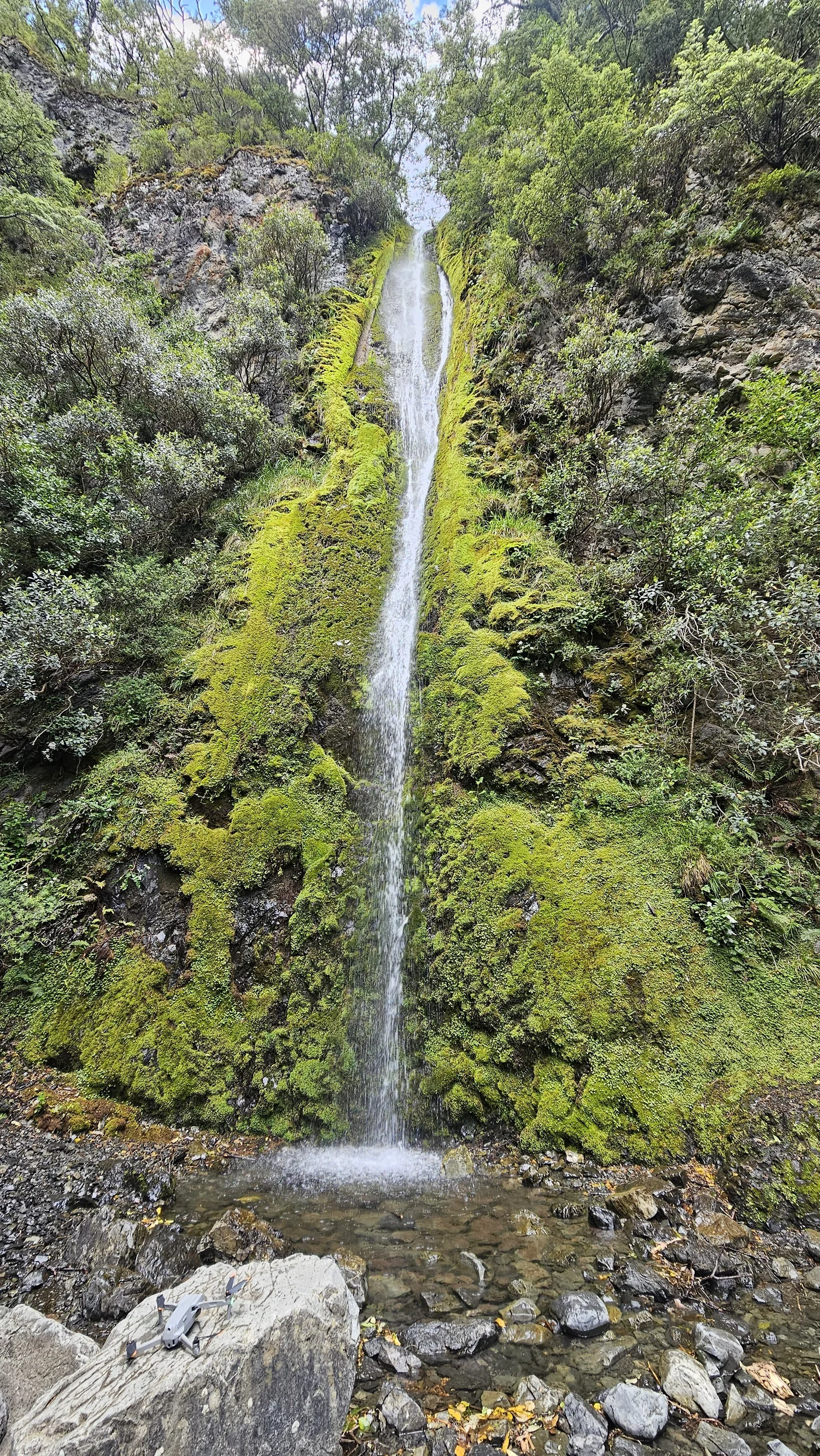
The “forever uphill” was worth it.
Cool air, cold spray and homemade cookies at the bottom of a waterfall. Not a bad reward.
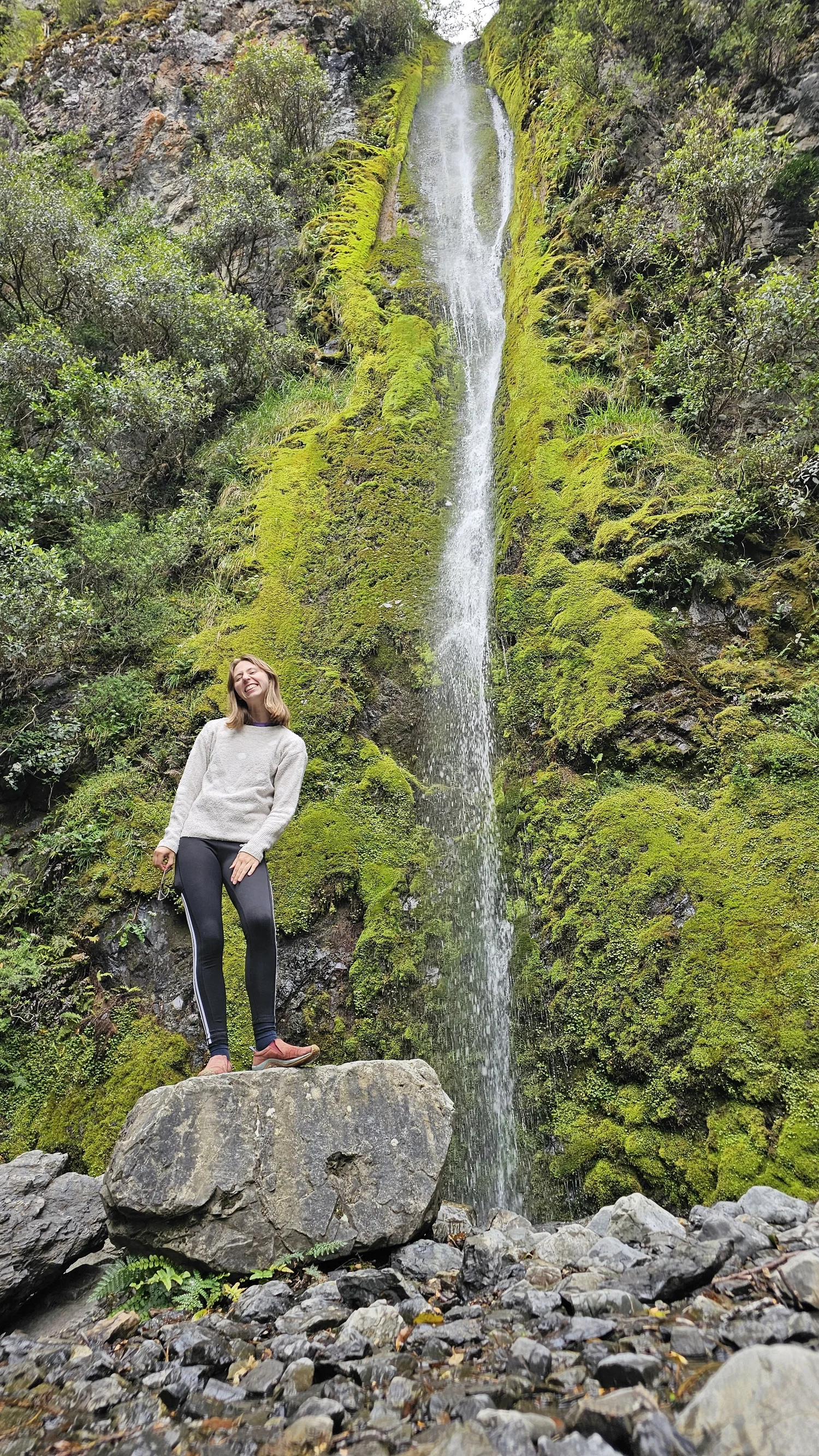
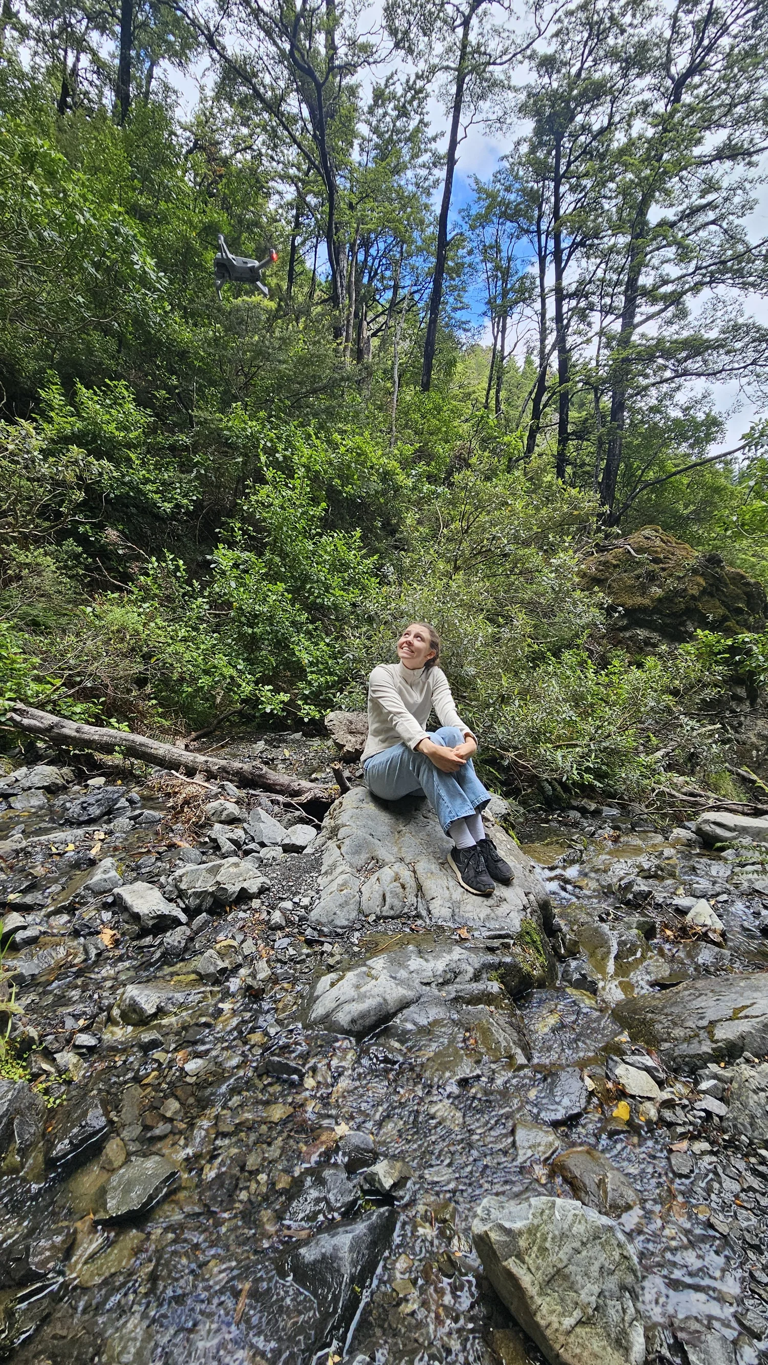
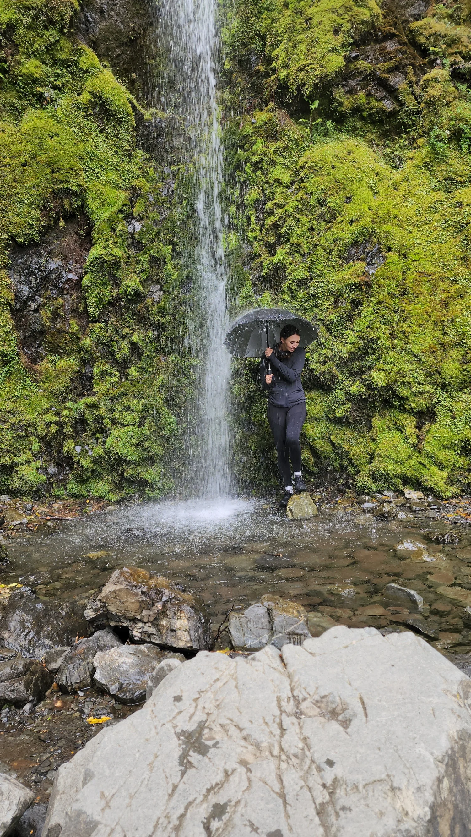
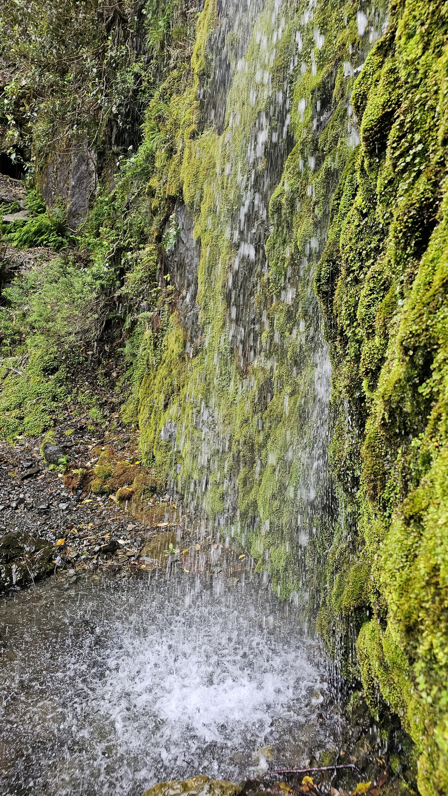
Much colder than the walk up.
The spray and shade made the base of the waterfall feel instantly cooler.
The distance sounded easy. The elevation did not.
The watches explained why the climb felt longer than expected.
Our devices recorded 4.97 km and 5.01 km.
Our group's recorded elevation gain.
These are our own device readings from the route we walked. They are not official DOC track specifications.
Dog Stream Falls is not difficult to find, but the climb deserves respect.
Getting to the trailhead
DOC directs walkers from Hanmer Springs along Jollies Pass Road, then McIntyre Road and Mullans Road to the Hanmer Forest Park car park.
The official track
The Waterfall Track climbs steadily through mountain beech forest to Dog Stream Falls.
Footwear
DOC says sturdy footwear is essential for the Waterfall Track.
Spur Track junction
DOC places the Spur Track junction around 1.8 km and about 1 hour 15 minutes into the walk, with roughly another 15 minutes to the waterfall.
Optional circuit
DOC suggests returning via Spur Track and Fir Trail if you want a round trip instead of retracing Waterfall Track.
Weather
Be prepared for changing conditions, especially on longer Hanmer Forest Park walks.
Fire closures
Access can be restricted during extreme fire danger or for public safety. Some tracks may also close during forestry operations.
Wasps
DOC warns wasp numbers can be high from January to March.
Hanmer Forest tracks can close temporarily because of fire danger, public safety or harvesting work. Respect all signs and closures at the park.
What we would want to know before going.
Where is Dog Stream Falls?
How tall is Dog Stream Falls?
Is the Dog Stream Waterfall Track steep?
How far is it to Dog Stream Falls?
Can you make it a circuit?
What kind of forest is on the track?
Do you need hiking boots?
Are there seasonal hazards?
Official facts and our experience are kept separate.
Waterfall height, official route description, access directions, footwear advice, track junction timing and current safety information are based on Department of Conservation information.
Our approximately 5 km distance, approximately 440 m recorded elevation, reactions to the climb, bird sighting and family experience come from our own hike.
We went looking for a waterfall. We earned this one.
Dog Stream Falls gave us native forest, birdsong, stream crossings, steep stairs and enough elevation to make a five-kilometre walk feel much bigger.